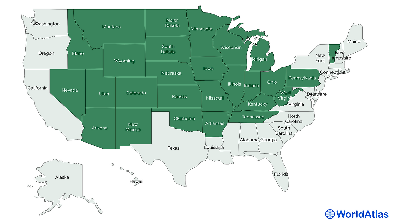
Where and What Is the Palliser's Triangle?

The Palliser's Triangle denotes a steppe region located in Canada, which is mostly semi-arid. The region was initially identified as unfavorable for farming due to its unsuitable climate. The soil covering this region appears black or dark brown, and is rich in nutrients. The area lies in Canada's Prairie provinces, and its semi-arid conditions initially made it challenging for farming activities.
History of the Palliser's Triangle
The Palliser's Triangle is named in honor of John Palliser, who led a survey expedition to the western region of Canada from 1857 to 1859. Palliser described the area as roughly triangular, and determined it to be unfavorable for farming. As he wrote the final report to be submitted to the British government, Palliser suggested that the region was a northern extension of the larger central desert of the United States. He further described the area as either desert or semi-desert, with no potential of successful settlement. After some years, a government official named John Macoun suggested that the area would be fit for growing wheat and he began to promote it to immigrant farmers. In the 20th century, settlers began trooping to the region and started farming. However, early farmers struggled from the start.
Characteristics of the Palliser's Triangle
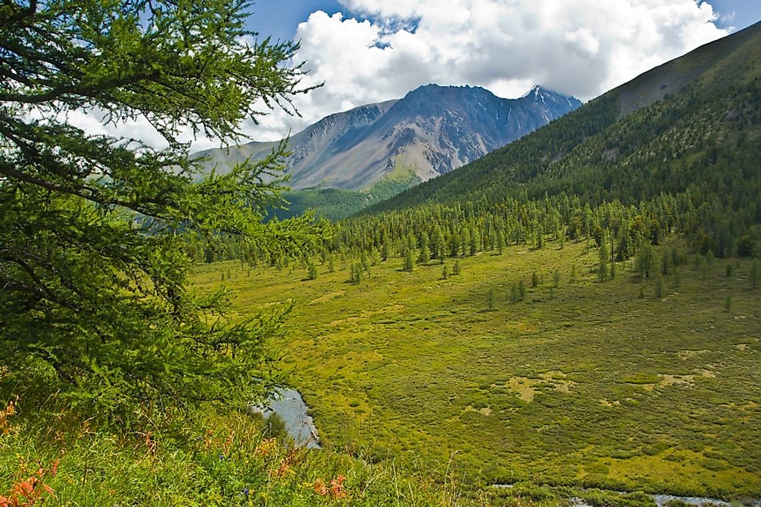
The Palliser's Triangle is a mixed grassland ecoregion, and it possesses a yearly annual water deficit of 524 mm. It has few wetlands and also few indigenous tree species. The region's landscape ranges from the rolling Missouri Coteau, glacial lake plains, to level ground. The town of Leader, which is situated in the region, records a yearly precipitation of 352 mm, while the yearly snowfall is 101 cm.
Ranching Activities in the Palliser's Triangle
For many years the region was attractive to ranchers. The wettest period of the year occurred during late spring and early summer, and it was the time when plants most required precipitation. Cattle grazing was further sustained by dry weather, sandy soil, and grassy land cover. Multiple ranchers in the United States drove their herds north for them to graze in the triangle. By 1912, most of the land had been overgrazed.
Farming Activities in the Palliser's Triangle
For a period yields were fruitful, but inefficient agricultural practices coupled with dry conditions made the area a Dust Bowl in the 1930s and contributed to the Great Depression in Canada. However, a series of rainy years and modern farming practices helped to reestablish the region as a significant farming area. However, farming has been unstable in the triangle. The region's northern edge has black soil, and plantations around Saskatoon and Edmonton are notably recognized as good crop land.
Fertile Belt
John Palliser, in the course of his survey, came upon a fertile belt surrounding the area. Henry Hind subsequently explored the belt in 1857 and suggested that the fertile belt, which ran along the North Saskatchewan Valley, was bigger than expected and it has enough rainfall to facilitate agriculture. Hind suggested the largest impediment to the settlement would not be geography, but rather lack of markets. The fertile belt was rich in agricultural soil and would support flourishing settlements.