What Region is Texas In?

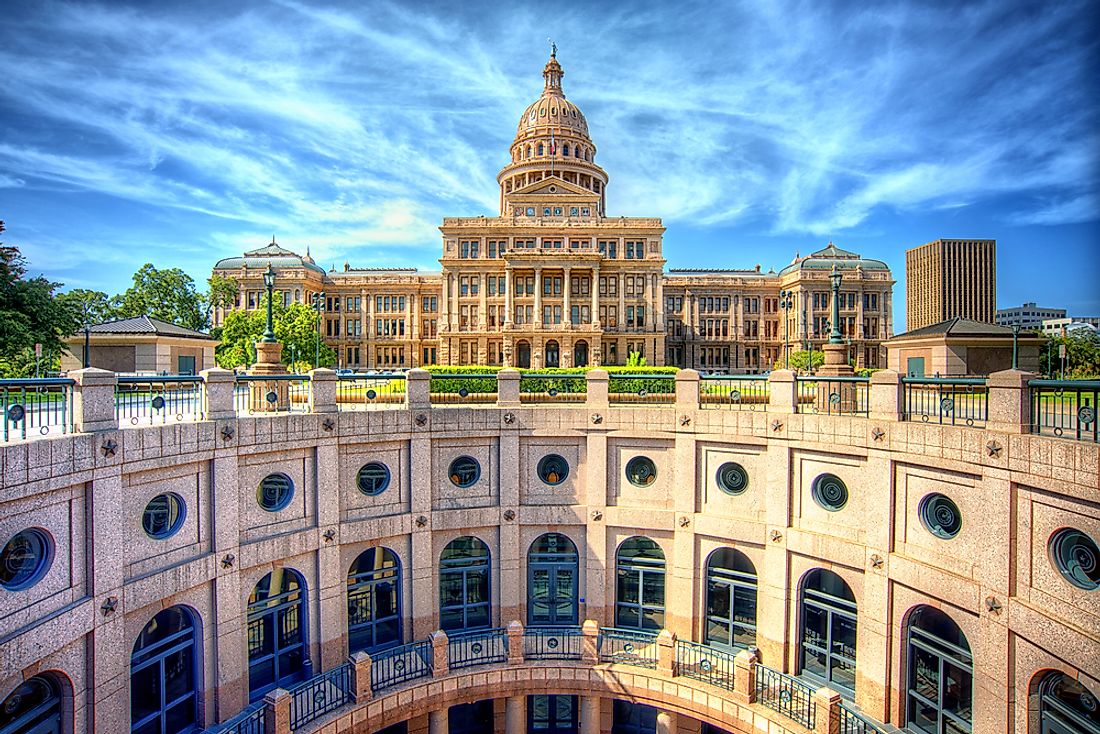
The state of Texas lies in the South-Central region of the US. Texas ranks as the biggest state in the region regarding population as well as land area. Texas is also home to the biggest city in the South-Central region, namely Houston. Texas borders Oklahoma, Louisiana, New Mexico, and Arkansas as well as the Mexican states of Tamaulipas, Chihuahua, Nuevo León, and Coahuila, and the Gulf of Mexico to its southeast.
History Of The South-Central Region
During the 17th and 18th centuries, France and Spain controlled the region with the French based in Louisiana and the Spanish in New Mexico and Mexico. The French troops from Natchitoches managed to briefly occupy Los Adaea which served as the capital of Spanish capital as the War of the Quadruple Alliance raged on. The French, however, were unsuccessful in capturing Texas from Spanish control. The US purchased the North American holdings of the French in the Louisiana Purchase in the early 19th century which was constituted of slightly less than half of today's South Central Region. The region's states of Alabama, Texas, Mississippi, Arkansas, Tennessee, and Louisiana were official participants of the Confederacy in the Civil War.
Geography Of The South-Central Region
The landscape of the region varies significantly. A large part of the region's northeastern quarter is mountainous, being home to the Ouachita and the Ozark Mountains situated in Arkansas and eastern Oklahoma. The region's northwest quarter is home to the Great Plains while its climate changes from the semi-tropical in Southeast Texas, South Louisiana, and the Mississippi Delta to the dry and extensive Chihuahuan desert situated in West Texas. The landscape of the southeastern part of the region includes the Mississippi Delta, the Appalachian Mountains straddling Alabama and Tennessee, Louisiana, in addition to the Piney Woods of East Texas. The region's southwestern parts share a border with the Rio Grande, and they are typically drier than other portions of the region.
Geography Of Texas
The state of Texas strands an area of 268,829 square miles, making it the second biggest state in the US. The state's rivers of Sabine, Rio Grande, and the Red River form three of the state's natural borders with both US and Mexican States. The Texas Panhandle possesses a western and an eastern border with Oklahoma. Texas has eleven distinct ecological regions, ten climatic regions, and a further ten soil regions making it a challenging affair to classify the region. One classification system includes the Interior Lowlands, Basin and Range Province, Gulf Coastal Plains, and Great Plains. The Rio Grande ranks as the state's longest River, and it is among one of the 15 main rivers in Texas.
Administrative Divisions Of Texas
Texas has the biggest number of counties in the nation at 254. These counties include Bee, Austin, Brooks, Cameron, Cass, Donley, Gregg, Kenedy, Menard, and Real Counties. The administration of the counties is based on the Commissioner's Court System. The state allows for the creation of ‘special districts' whose mandate is to provide limited services such as education, and healthcare.


