What Is the Antarctic Convergence?
The Antarctic Convergence (AAC) is a boundary line that separates the Antarctic and subantarctic regions. The AAC is a curved line that fully encircles Antarctica, and which varies in latitude seasonally. It is the point where the cold Antarctic waters meet, mingle, and sink beneath the warmer subantarctic waters. The line is also referred to as the Antarctic polar front. The zone was first crossed in 1675 by Antony de la Roché, and it was subsequently described in 1700 by Sir Edmund Halley.
Description of the Antarctic Convergence
The Antarctic Convergence is a zone of natural boundary. The sea south of the line differs significantly from the waters to the north in terms of temperature, density, and salinity. The Antarctic waters support only limited animal and plant life. When the two water regions meet, nutrients situated in the seafloor are carried to the surface, rendering the convergence zone suitable for the growth of microorganisms such as phytoplankton and creatures like krill. These life-forms contribute to the food chain of the region's residents, including seals, penguins, whales, albatrosses, and fish. The zone is among the southern hemisphere's primary marine food sources.
Location of the Antarctic Convergence
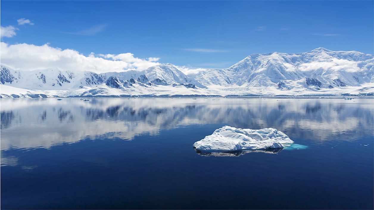
The Antarctic Convergence zone’s width is estimated to be between 20 to 30 miles. The curve changes in latitude seasonally and in differing longitudes stretching across the Indian, Atlantic, as well as the Pacific Oceans, between the 48th parallel and the 61st parallel of south latitude. Although the line shifts, it usually does not go beyond half a degree of latitude away from its mean position. As one crosses the zone, there is little visible sign of change, since most activity occurs below the surface. Some localized changes in weather can be detected, such as fogs. The primary indicator of the change is a reduction in water temperature, a change which is recognized by a ship’s instruments. The usual summertime water temperature to the north of the zone is 7.8℃, which drops to 3.9℃ upon reaching the Antarctic Convergence.
Territories North of the Antarctic Convergence
The Falkland Islands include over 700 islands in the South Atlantic Ocean. The islands lie about 300 miles east of Patagonia on the Patagonian Shelf. The coastline of the islands is approximately 800 miles, and the territory sits on a land area of 4,700 square miles. Another territory in the South Atlantic Ocean is Tristan da Cunha. The archipelago features a main island with the same name. The territory is 1,500 miles away from South Africa and 1,200 miles from Saint Helena. The Prince Edward Islands lie in the sub-antarctic Indian Ocean, and they are considered as part of South Africa. Marion Island, which is the largest of the group, occupies an area of 112 square miles. Other regions to north of the convergence zone include the Auckland Islands, Tierra del Fuego, Crozet Islands, the Campbell Island group, Gough Island, Bounty Islands, Isla de los Estados, and Antipodes Islands.
Territories South of the Antarctic Convergence
The South Shetland Islands are included among the Antarctic Islands and they lie approximately 75 miles north of the Antarctic Peninsula. The South Orkney Islands have a total area of about 240 square miles in the Southern Ocean. The islands witness harsh weather that is characterized by cold, wet, and windy conditions. Other territories to the south of the convergence are Scott Island, Bouvet Island, Balleny Islands, McDonald Islands, and Peter I Island.