What Is a Fault Line?
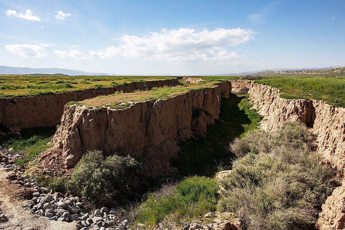
Fault lines represent fracture lines on the surface of the Earth where rocks on either side of the crack have exhibited mechanical movements to release accumulated strain. The resulting fault planes represent the fracture surfaces of a fault. Fault lines vary significantly in their lengths and widths, and can be as thin as a hair, barely visible to the naked eye, or can be hundreds of miles long and even visible from outer space, such as in the cases of the Anatolian Fault in Turkey and the San Andreas Fault in the U.S. state of California.
Mechanisms of Faulting
Rocks in the Earth’s crust are highly rigid, and frictional forces acting between the rocky surfaces hinder movement, keeping the Earth’s crust stable. When rigidity and frictional forces completely force all movements in the crust to stop, stress builds up in the rocks, leading to a build-up of potential energy in the crust. When this potential energy exceeds a threshold level, the energy is released in the form of a sudden movement of these rocks, which is usually concentrated along a specific plane on the Earth’s crust, namely the faults.
Types of Fault Lines
Faults are classified into various types based on the directions of the slips among their rocks. These include strike-slips, normal faults, and reverse faults. Strike-slip faults are the fault lines resulting as a movement of rocks in a horizontal direction, involving little or no vertical movement. Examples of strike-slip faults are the Anatolian Faults and San Andreas Faults. Normal faults are fault lines where the crust moves apart along the fault line, creating a void in between. The East African Rift Zone and the Basin and Range areas in North America are examples of normal faults. Reverse faults refer to those fault lines that result from blocks of crust sliding above each other rather than separating from each other. Such faults often lead to orogeny (the shaping of the earth's crust through tectonic activity), such as the creation of mountain ranges seen arising along fault lines. The Himalayas in the Indian subcontinent and the Rocky Mountains of North America are examples of mountains that have been formed due to orogeny related to reverse faults.
Example of a Fault Line
The San Andreas fault line is one of the most famous and extensively studied fault lines in the world. The fault line lies at the boundary between two large continental plates. Namely, these are the North American plate in the east (encompassing large areas of North America and half of the Atlantic Ocean) and the Pacific plate in the west (extending from beneath the Pacific Ocean to the Mariana Trench). Since its initial formation, plate movements have been common along the San Andreas fault line, and the plates have been known to move around 5 to 6 centimeters a year. As the plates creep past each other, rocks must yield, often releasing stress in the form of steady movements, as well as the well known California earthquakes, which may range from frequent minor ones to intermittent major, more devastating ones.
Impact of Fault Lines on Human Life
Since fault lines are subject to frequent changes in the mechanical behaviors of soil and rock masses, it is often advised that critical structures like dams, power plants, hospitals, and schools should not be built along fault lines, so as to avoid greater risk of death and destruction along such regions in times of natural disater emergencies, such as earthquakes and tsunamis. Geologists continue to study the earth's fault lines to estimate the ground activity in such areas in order to gain greater insight into future possibilities of earthquakes in regions in around around fault lines.
Fault Zones By Length
| Rank | Fault | Length (km) | Region |
|---|---|---|---|
| 1 | Sunda Subduction Megathrust | 5,000 | Southeast Asia |
| 2 | Central African Shear Zone | 4,000 | Central Africa |
| 3 | Alaska-Aleutian Megathrust | 3,600 | Alaska and Russia |
| 4 | Chile Subduction Megathrust | 3,000 | Chile |
| 5 | Azores-Gibraltar Transform Fault | 2,250 | Azores, Straight of Gibraltar |
| 6 | Main Uralian Fault | 2,000 | Russia |
| 7 | Kunlun Fault | 1,500 | Tibet |
| 8 | Alpine Fault | 1,400 | New Zealand |
| 9 | Great Lakes Tectonic Zone | 1,400 | United States |
| 10 | Gulf of California Rift Zone | 1,300 | Mexico |


