The 6 Natural Regions of Arkansas
Arkansas is the southern part of United States of America, bordering the Mississippi River. The region is popular for its abundant parks, beautiful terrain, and vast ranges, plains, and plateaus. The following are the six natural regions of Arkansas.
6. Arkansas River Valley
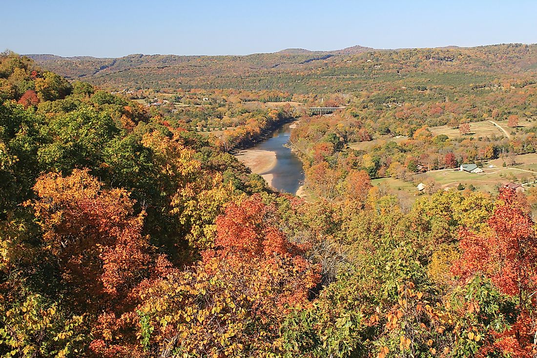
The Arkansas River Valley is among largest areas of Arkansas, which had a river covering it for many years. The valley divides the Ozark and the Ouachita Mountains with a width of forty square miles. The cities of the Arkansas River Valley are situated along the rivers and they include the Fort Smith, Little Rock, and many others.
5. Crowley's Ridge
Crowley's Ridge is a beautifully curved region with a crescent-shaped formation. The beautiful and unique structure of the area makes it very popular and distinctive in the southeast Missouri and in the northeast of Arkansas. The soil in this region is vastly rich and fertile, and the area is forested with the hickory and oak forests. Many unique and beautiful plants such as the rare and beautiful American bellflower, crimson catchfly and yellow Jasmin grow there. The inhabitants of the region practice small-scale farming of animals rearing and crop farming. Moreover, the region is an excellent source of American history and culture, in consideration of its artistic features and beautiful scenery.
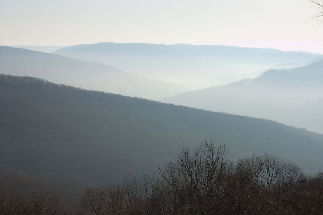
4. Gulf Coastal Plain
The region is situated between the United States of America precisely in the Gulf of Mexico and to the east republic of Mexico. The area extends to southwest Georgia and Florida panhandle, Tennessee, Mississippi, and Alabama. The flat plains contain rivers that flow through the land, one of the major rivers being river Riparian. Longleaf, slash and pine trees in the southern part of Gulf coastal plains dominate the highlands of the Prairie. The tropical and subtropical moist broadleaf trees cover the South region of the region. Moreover, a wide range of grasslands is a part of the area. During a study by a joint tasks force of German and American scientists, they discovered that the underground water source has been shrinking for an extended period. They concluded that this was because of the high stress by the ever-increasing population in the region. As a result of this strain on the water sources, the water level in streams, rivers, and lakes are reducing at an alarming rate. The scientists went ahead and extrapolated that due to the climate change, the water in the underground sources will eventuallybe depleted. The rising population has also brought about the severe and hazardous effect to the environment in the Gulf Coastal Plains. Some of these limitations include pollution and the water catchment area.
3. Ouachita Mountains
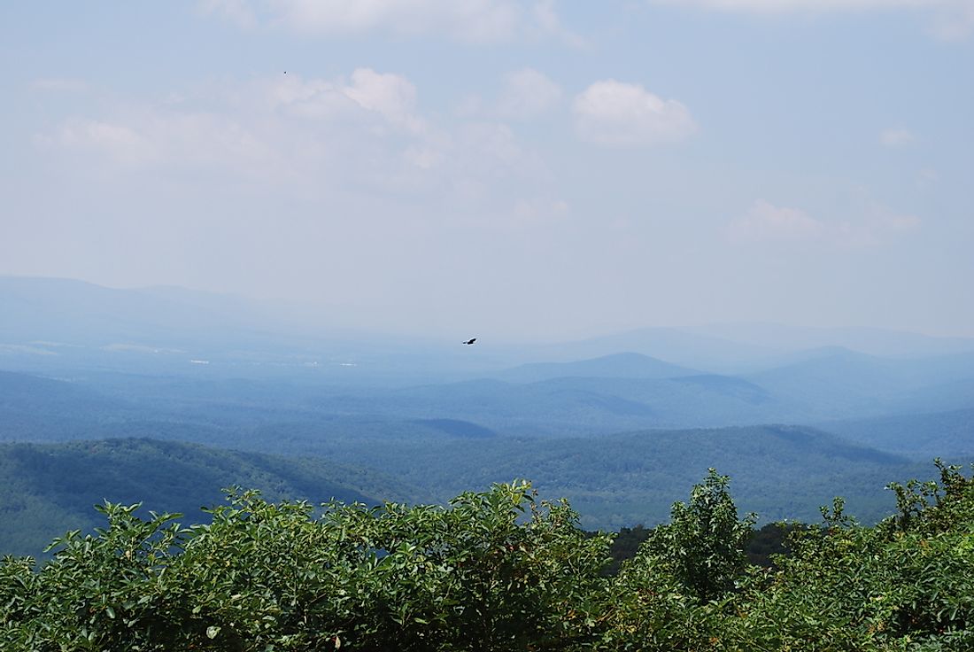
The Ouachita Mountains are located in in southeast Oklahoma and the west-central Arkansas. The ranges even spread out as far as central Texas and outside the Marathon Uplift. The highest point of these mountains is Mount Magazine, which is located in west-central Arkansas. The height of the peak above the sea level is 2,757 feet. These mountains were formed by the folding process, just like Appalachian Mountains to the east. During the Pennsylvanian period 300 million years ago, the South American plate collided with Laurentian. The formation of these mountains is referred to as the Ouachita Oregon, although most mountains in the United States run from north to south. The Ouachita Mountains are entirely different as they it run from west to east and have flora. The species that are native to this region include the Northern red, post, black and white. The Ouachita Mountain region is also popular for beautiful scenery, which in turn acts as a tourist attraction site.
2. Ozark Plateau
The Ozark Plateau, also known as the Ozarks mountain country or Ozark Mountains, is a geological highland of central United States. This plateau covers a significant area of southern Missouri and extends all the way to St Louis. The highest point of this plateau is called the Buffalo Lookout, which is at the height of 2,561 feet above the sea level. The specific coordinates of Buffalo Lookout is 37°10'N 90°30'W.
1. Mississippi Alluvial plain
The Mississippi Plains covers an area of 12,350 square miles. The creation of the plains was due to the deposition of alluvial soil over a long time. The main river that deposit this sediment is the Mississippi River, which extends all the way from southern Louisiana to southern Illinois. The river conveys deposits from highlands to the lower Mississippi area. Mississippi alluvial plains comprises the upper Mississippi embayment outspreading from central Louisiana, Illinois, and the Mississippi River Delta in the southern part of Louisiana. The term Mississippi embayment is hardly used in referring to the western side of Mississippi River. The embayment extends from eastern Arkansas to the southernmost part of Illinois. The so-called embayment has been vastly blessed with rich and fertile soil, and for this reason the Mississippi alluvial plains is one of the most productive areas on the entire globe. The practice of agriculture in Mississippi Alluvial Plains is persistent, exclusively in rice and corn farming.