Major Rivers Of The Island Of Cuba
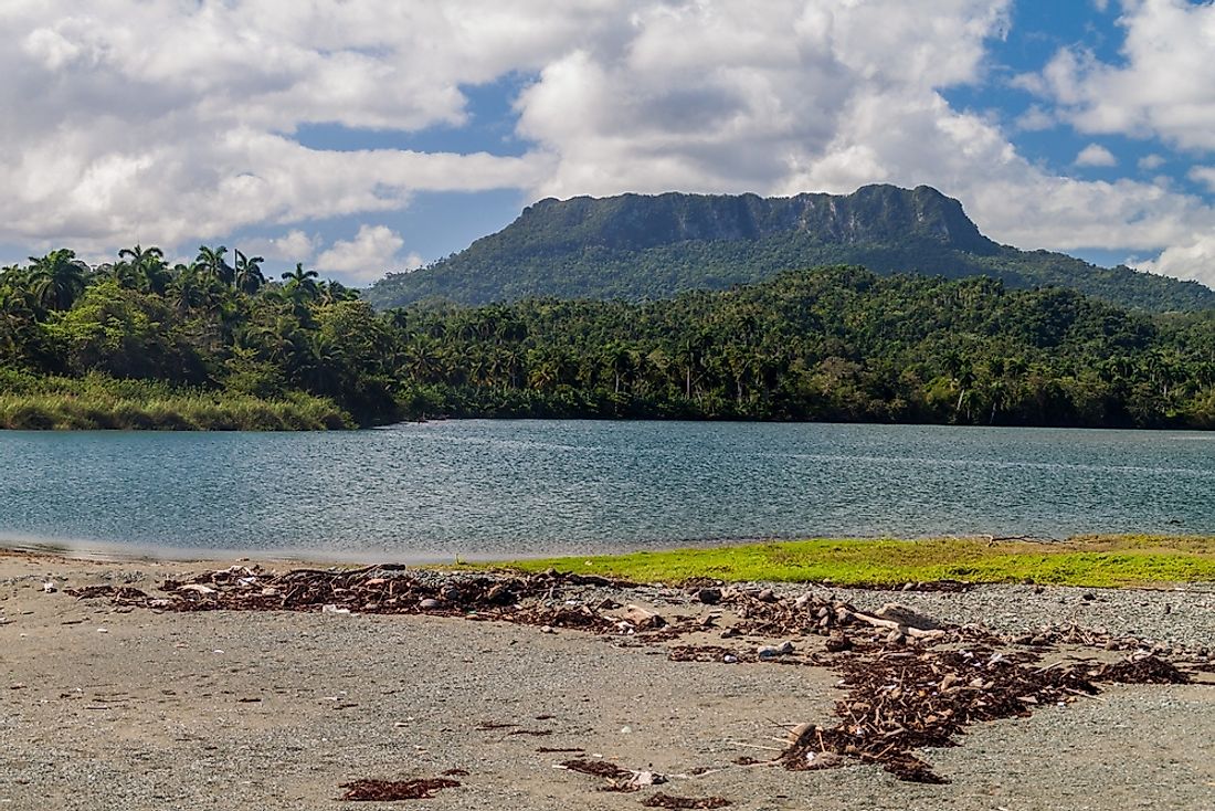
Cuba is a Caribbean island located between the North Atlantic Ocean and the Caribbean Sea. It experiences tropical climate which is moderated by trade winds. Cuba experiences heavy rainfall between May and October. The terrain is flat with mountains on the southeast. 27% of the country is under forest cover, and a further 60% is agricultural land. Natural resources in Cuba include coal, nickel, iron ore, copper and petroleum. Cuba receives around three million tourists annually, and the number is increasing each year. Experts assert that if American tourists start visiting Cuba, this number will double. Cuban rivers are one of the biggest tourist attraction sites. The country’s largest rivers are the Cauto, Toa, Guama, and Yumuri.
Cauto
The River Cauto is the largest river in the country. It flows from Sierra Maestra into the Gulf of Guacanayabo. The river has three main tributaries, namely the Salado, Bayamo, and Contramaestre. At the Guacanayabo Gulf, the river forms a delta and an extensive swam. The Delta provides favorable land for farming cash crops such as rice, tobacco, and sugarcane. However, water from the river cannot be used for household consumption. The river flows a total of 230 miles, but only 70 miles are navigable. The general flow is from East to North West and flows through the provinces of Santiago de Cuba and Granma. Communities which live along the river are Palma Soriano, Cauto Cristo, and Rio Cauto.
Toa
The River Toa derives its source waters from Cuba's Guantanamo Province. It has been described as the mightiest river in Cuba, and its waters are crystal clear. It has 72 tributaries that emanate from Guantanamo Provinces, which is one of few places in the north receiving high levels of annual rainfall. The river harbors more than a thousand species of birds and more than 150 species of ferns. Birds found in the river, including the cororo and the hook-billed kite, are facing extinction due to climate change and destruction of their habitat. The river is a major tourist attraction, the use of the Cayuca, a local form of water transport is used to transport visitors across the river. The waters are believed to cause rejuvenation, and anyone who swims in it never leaves the area.
Guama
The River Guama is the third largest River in Cuba, flowing for 51 miles in the Guantanamo area. The Guantanamo area means the "land between rivers" in the indigenous Taino language. Initially, the river discharged its water into the Caribbean Sea, but this changed after it was directed into the El Punto dam.The water from the dam is used for irrigation with the first phase of the scheme covering over a thousand hectares.
Yumuri
The Yumuri flows from the Imias village and drains into Bahia de Matanzas, covering a distance of 33.7 miles. The valley of the river is one of the most scenic and attracts a huge number of tourists annually. It has a wide range of beautiful plants and animals as well as number archaeological sites. Scientists claim that the valley has fossils dating back to thirty million years ago. The locals claim that the name Yumuri came from the cry made by indigenous people while committing suicide by jumping off the cliff into the river. They preferred death rather than harsh treatment from the colonizers. The river gorge is formed of an 80 hectare plain and has dark-grayish soils which are very fertile and suitable for agriculture. It is home to a rare species of cactus.
Major Rivers Of The Island Of Cuba
| Rank | Major Rivers of Cuba | Length |
|---|---|---|
| 1 | Cauto | 213 miles |
| 2 | Toa | 81 miles |
| 3 | Guama | 51 miles |
| 4 | Yumuri | 34 miles |
| 5 | Almendares | 28 miles |