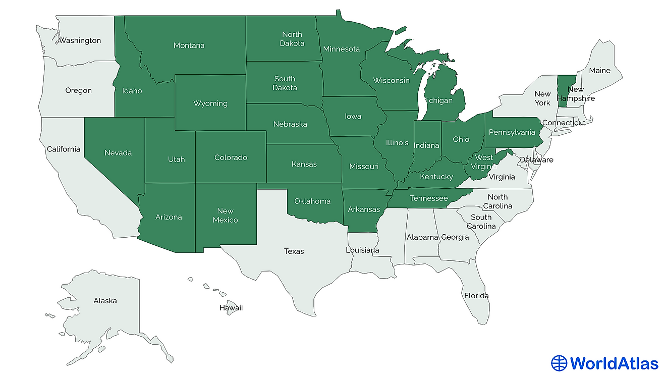
What is Landsat?
The Landsat program is an enterprise that is the source of earth satellite imagery. It has been running since its launch on July 23, 1972, making it the longest running satellite imaging enterprise. The Landsat satellite instruments have taken more than a million images that are unique and useful to different fields such as cartography, agriculture, geology, education, and forestry.
History
In 1969, the work of Hughes Santa Barbara Research Center led to the first scanners known as Multispectral Scanners. It took nine months for the first MSS prototype to be completed. It was taken for an experiment at Yosemite National Park where it was used to scan the Half Dome. President Jimmy Carter of United States of America through his Presidential Directive 54 ordered the operation of the Landsat to be transferred from the National Aeronautics Space Administration (NASA) to the National Oceanic and Atmospheric Administration (NOAA). In 1985, the NOAA gave the Earth Observation Satellite Company (EOSAT) the responsibility of operating the Landsat for a nine-year period. EOSAT had run the Landsat operation since then under the state sponsorship, and in October 1992, the USA Congress recognized the value of the Landsat and gave assurance of continuity through the enactment of Land Remote Sensing Policy Act.
Benefits of Landsat Imagery
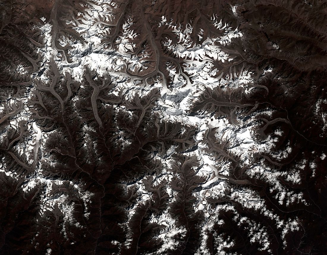
The most considerable advantage of the remote sensing is its provision of broader and global data that no other equipment can gather. This efficiency has given scientists information about the ecosystem and enabled them to predict species distribution, and detect a natural occurrence and changes on the earth in higher scale and with more accuracy.
Landsat imagery has played a crucial role in the discovery of new species around the world. In 2005, a scientist by the name Julian Bayliss needed to locate areas that can be used as conservation places. By the use of Landsat imagery during the experiment, he saw a portion in Mozambique. Upon his visit, he discovered three butterflies of different species and another new species of a snake. The discovering made him study the forest for a longer time, a period that allowed him to map and understand the forest coverage.
Landsat imagery has also been used to manage natural resources such as fishery areas and forests, and to monitor climate change together with its effects. For example, Landsat imagery has shown the level the Aral Sea has shrunk, something that has been referred as one of the planet’s worst environmental disasters.
The Future of the Landsat Program
The latest Landsat to be launched is Landsat 8 which took place at Vandenberg Air Force Base on Atlas by Launch Service Program. It still collects data, and imagery that are beneficial to agriculture, business, education, governments, and science.
An unofficial report indicates that plans to develop Landsat 9 have started, though its future is not certain. During the budget allocation in 2016, the appropriators criticized NASA for over-estimating the cost of the Landsat 9, placed at $1 billion and reduced it to $650 million. Later the Senate instructed NASA to have Landsat 9 launch before the year 2020. Therefore, in April 2015, the plans to launch Landsat 9 in 2023 was announced by the NASA with funds allocation included in the FY2016 financial year.