How Does a GPS Work?
Introduction
Since ancient times, humans have been looking at the skies to determine their location. For example, the sailors learned where they were and where they were heading by using the constellations at night. In modern times, the Global Positioning System (GPS) is useful in figuring out the locations of any place in the world. The stars in the sky that were used in ancient times to determine the location of people have been replaced by satellites which can tell the exact location of a person. There are more than 30 satellites that zip high above the Earth.
How Does GPS Work?
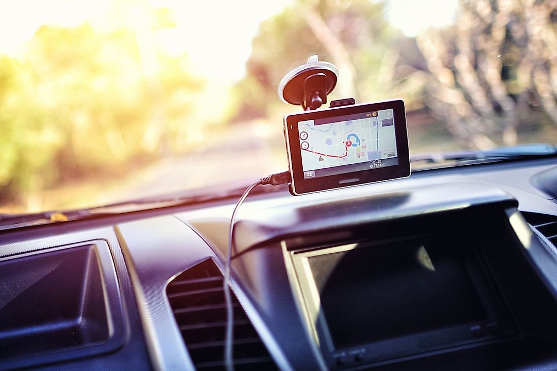
GPS is a system that consists of three parts: the ground stations, the satellites, and receivers. It stands for Global Positioning System and the government of the United States owns its technology. It is operated by the United States Airforce. There is no requirement for the transmission of data from the user in order for the GPS system to work. It operates independently from any internet or telephonic reception.
The satellites act like the stars and the ground stations utilize radars to ensure the satellites are in the right position. The receiver on the other hand, as in cars and phones, regularly listens to signals coming from satellites and determines how far away they are from them.
The receiver requires four or more satellites to calculate the exact location of a holder. Although the satellite is miles away up in space, the location of a person can be easily determined on the ground by incredible precision. The receivers can determine where a person is within a few yards of their actual location. High-tech receivers can identify the location within a few inches.
Irrespective to the fact that the GPS uses several sophisticated technologies, the concept of how it works is simple. The GPS receiver (a phone for example) gets the signals from the satellites. The role of the satellite is the transmission of the exact time that the signals are sent. The difference between the reception and transmission time is used by the satellite to determine how far the receiver is from each satellite. Because the receivers have the exact location of the satellites, they can determine the exact location of a person. The dimensions of determining the positions are the north, east, and altitude.
The accuracy of the GPS is dependent on factors such as ephemeris errors, atmospheric effects, and the satellite clock errors.