Coastal Features: What Is A Ria? What Is A Ria Coast?
What Is A Ria?
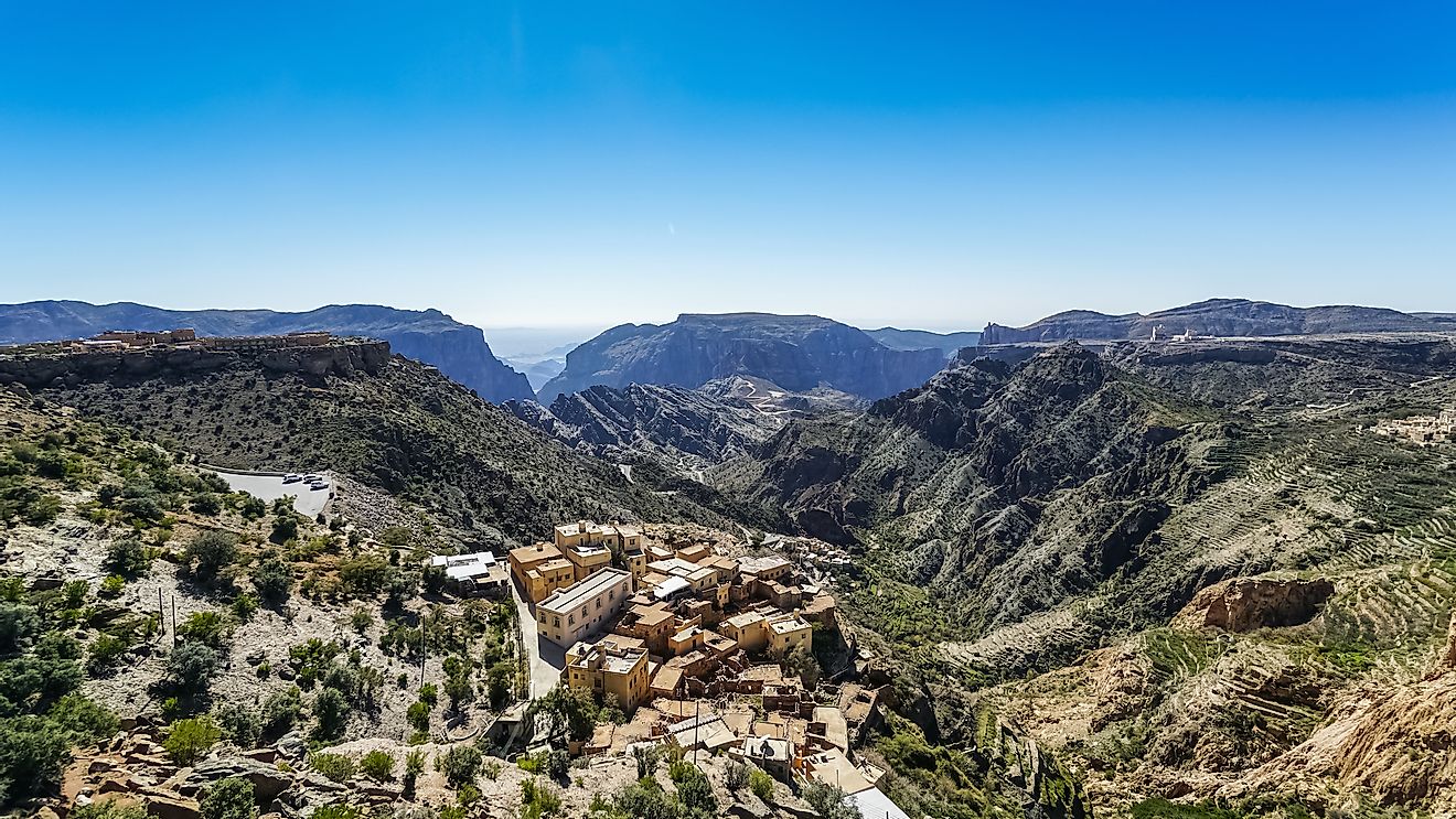
A ria is a coastal formation that was once a river valley. It is found along an unglaciated land, which is an area that has not been formed by glaciers. Today, these river valleys are flooded and open into the sea. The flooding was likely caused by one of two reasons. The first reason for river valley flooding is that world sea levels have risen (eustatic). The other reason for this flooding is that the land has sunk below sea level (isostatic).
Rias have a very branch-like appearance and have been compared to trees and dendrites, a mathematical model. Some rias, however, are long and straight without any branching. They extend a significant distance into the mainland and can range from a few hundred feet in width to miles in width. These coastal features contribute to uniquely shaped coastlines and are often marked by a frequent presence of scattered islands.
What Is A Ria Coast?
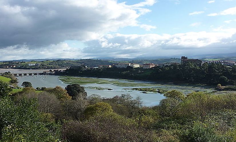
A ria coast is a coastline that houses several ria formations. These rias run parallel to one another and are separated by a raised piece of land, or ridgeline. The resulting estuary, brackish water where the freshwater river flows into the salty ocean, is typically quite large. Often, rias serve as the major drainage basin for the surrounding area.
Well-Known Rias Around The World
Rias are a relatively common coastal feature. Some, however, are more well-known than others. These include Narragansett Bay (Rhode Island, US), Portsmouth Harbour (England), Ria de Aveiro (Portugal), and Ria de Arousa (Galicia, Spain).
Narragansett Bay
Narragansett Bay is located on the Atlantic coast of Rhode Island. It is formed by 3 different, flooded river valleys and fed by the Sakonnet River, Taunton River, and Mount Hope Bay. The Narragansett Bay measures approximately 10 miles across, and the longest inlet extends northward, almost to the city of Providence. This ria has also created more than 30 islands throughout the estuary, including Conanicut, Prudence, and Aquidneck Islands.
Portsmouth Harbour
Portsmouth Harbour is located on the south coast of England, which is considered a submergent coastline. This ria measures approximately 3 miles in width and was once a river valley that ran from the city of Portsdown to Solent. The opening of this harbor is protected by the Isle of Wight, which has made Portsmouth Harbour the site of England’s navy for many years.
Ria de Aveiro
The Ria de Aveiro lies on the Atlantic coast of Portugal. Its estuary is 28 miles long and recognized for its significant number of marshlands. This ria is also notable for being one of the remaining undeveloped coastal marshland areas of Europe. Because of this near-pristine condition, it serves as an important habitat for various bird species. Additionally, many local residents practice artesanal fishing here. It is also the production site for Flor de Sal, a variety of salt.
Ria de Arousa
The Ria de Arousa is another well-known ria. It is located on the northern Atlantic coast of Spain, in the region of Galicia. It is the largest estuary of Galicia, measuring 7 miles wide and 14 miles long. It is deepest at the mouth of the estuary, reaching 226 feet in depth. Ria de Arousa is also filled with several islands and islets. Some of these include A Toxa, Sálvora, Cortegada, and Arousa.