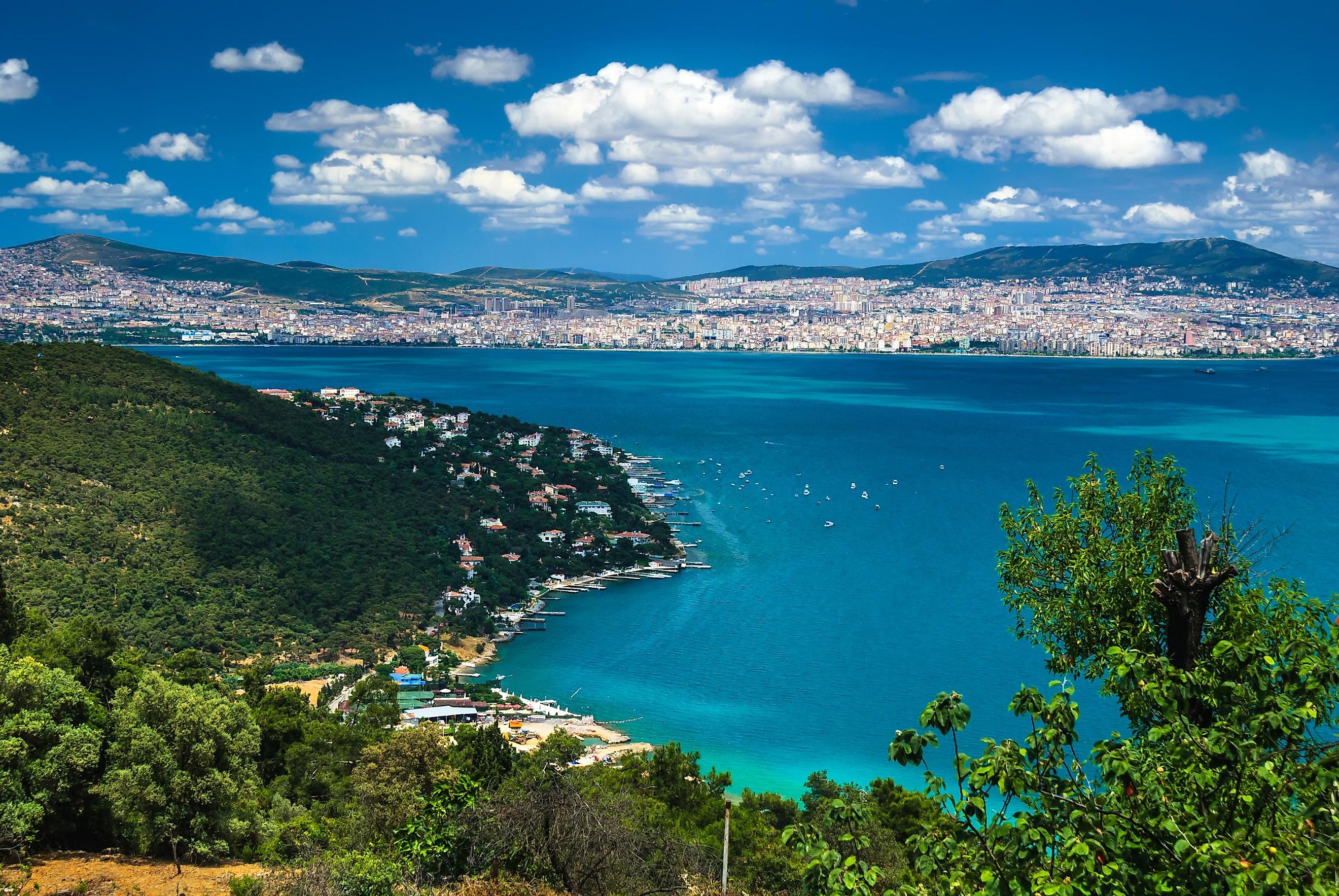
Sea Of Marmara
Inland seas are defined as landlocked seas that are linked only to the oceans via narrow channels or straits. Covering an area of only 11,350 km2, the Sea of Marmara is a small inland sea that is completely bordered by the transcontinental nation of Turkey.
The Sea of Marmara has been named after the Turkish Island of Marmara, whose name was derived from the Greek word Mármaron which means "marble." The ancient Greeks who sailed through the Marmara Sea to reach the Black Sea had named the Sea of Marmara as Propontis, where Pro meant "before" and Pontos meant "Sea."
Where Is The Sea Of Marmara?

The Sea of Marmara separates Asian Turkey from European Turkey. In the northeast, it is connected to the Black Sea via the Bosphorus Strait, whereas in the southwest, it is linked with the Aegean Sea via the Dardanelles Strait. Together with the Bosphorus and the Dardanelles Straits, the Sea of Marmara forms a part of the Turkish Straits System.
Geography
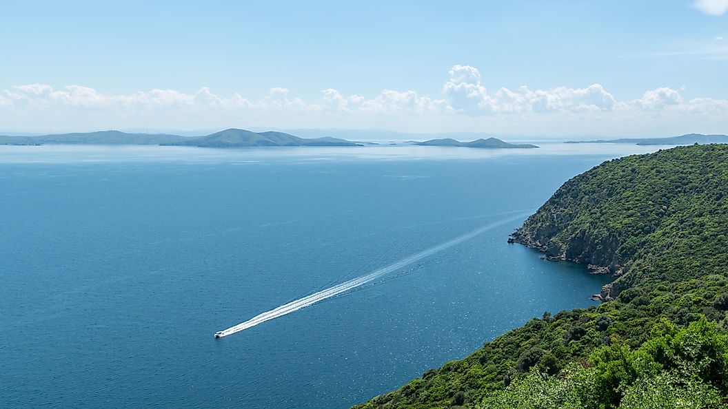
The Sea of Marmara is about 280 km long and has a maximum width of 80 km at its widest point. This small water body reaches a maximum depth of about 1,370 m and has an average depth of 494 m. The Dardanelles limit of the Aegean Sea serves as the western limit of the Sea of Marmara, while the northeastern limit of the sea is defined by the line joining two Capes of Anatoli and Rumili. The Sea of Marmara has an average surface salinity of 22 parts per 1,000, which is a bit higher than the Black Sea’s salinity. However, the water at the bottom of the Sea of Marmara is highly saline with an average salinity of 38 parts per 1,000 and is quite similar to the salinity of the Mediterranean Sea. The constant inflow of water from the Biga, Gonen, and Susurluk rivers greatly reduces the salinity of the Sea of Marmara.
Geologists have estimated that the Sea of Marmara formed about 2.5 million years ago due to the movements of the earth’s crust. The North Anatolian Fault which runs beneath the sea has caused several massive earthquakes in the region.
There are several islands in the Sea of Marmara. These are Marmara Island, Prince Islands, Avşa, Imrali, Ekinlik and Paşalimani Islands. Marmara Island is Turkey’s second-largest island as well as the largest island in the Marmara Sea. It is also a rich source of marble. The Prince Islands (Prince Archipelago) consists of the larger islands of Büyükada, Heybeliada, Burgazada and Kinaliada; along with five smaller islands. The small Turkish island of Imrali served as a high-security prison island for its only prisoner, Abdullah Öcalan, the leader of a Kurdish nationalist organization, until 2009.
Wildlife

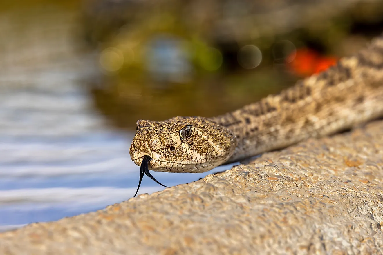
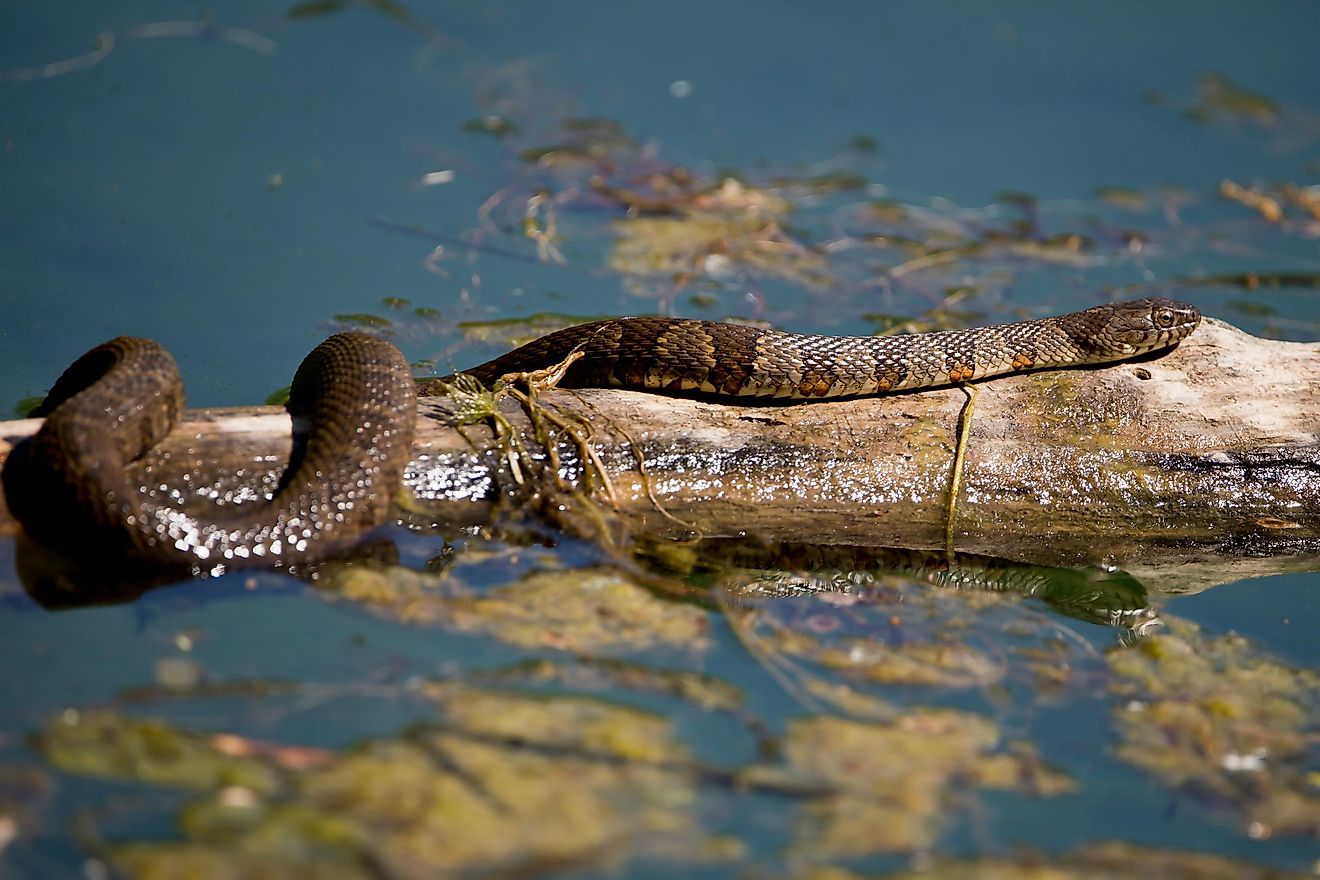
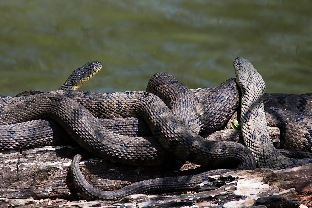
The Sea of Marmara represents a unique ecosystem and serves as a transitional zone between the Black Sea and the Mediterranean Sea. It functions as an important ecological gateway and thereby plays a significant role in the dispersal of marine organisms. Recent studies have revealed that about 230 species of fish including 13 shark species are found in the Sea of Marmara. Some of the fish that are found here are anchovy, sardine, horse mackerel, mullet, flounder, and garfish. It has also been estimated that about 507 marine floral species have been observed in the southern part of the sea. In addition to this, about 115 species of phytoplankton have also been recorded in the northeastern portion of the sea.
Economy

The Sea of Marmara serves as an important navigational waterway for the transportation of petroleum and natural gas to Europe from the western part of Asia and Russia. The fisheries of the Sea of Marmara also support the livelihood of several fisher families that live along the coastal areas of the sea. Some of the important coastal towns and cities that are located along the Sea of Marmara include Istanbul, Izmit, Balikesir, Yalova, Tekirdag, Bursa, and Çanakkale.