Kara Sea
Covering an area of 880,000 km2, the Kara Sea is a marginal sea of the Arctic Ocean that is located to the north of Siberia, Russia. The sea has been named after the Kara River.
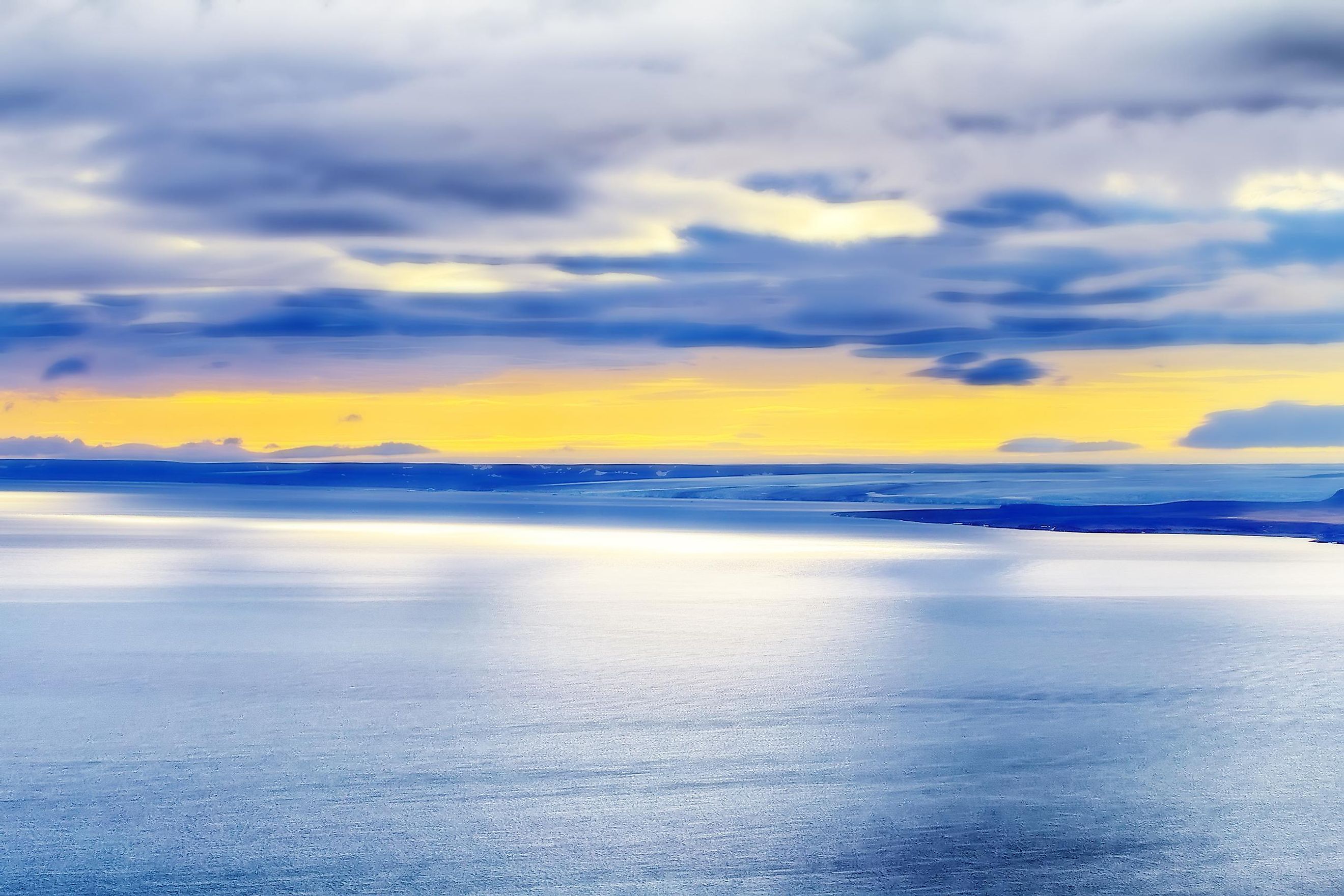
The Kara Sea is situated between the Franz Josef Land in the northwest, the Novaya Zemlya islands in the west, and the Severnaya Zemlya archipelago in the east. The Kara Strait and the Novaya Zemlya archipelago separate the Kara Sea from the Barents Sea in the west. In the east, the Severnaya Zemlya archipelago separates the Kara Sea from the Laptev Sea. In the north, the Kara Sea is also connected with the Arctic Basin.

Important Geographical Features
The Kara Sea was formed due to the melting of glaciers in the last Ice Age. Pieces of glacial ice have been found beneath the thin sediment layer. In the northeastern parts of the sea, different types of rocky soils have also been found.
The Kara Sea measures about 1,450 km long and has a maximum width of 970 km. The sea is relatively shallow with an estimated average depth of about 110 m. The deepest part of the sea measures about 620 m. The Kara Sea is regarded as one of the world’s coldest seas and remains covered with ice from September to May. The average temperature ranges between -28°C and -20°C during the coldest month, January, and the winter months are usually characterized by severe snowstorms. July is considered to be the hottest month, where the temperature ranges between -1°C and -6°C. The summer months are characterized by snow squalls and dense fogs.

Different rivers including the Kara, Ob, Pyasina, and Yenisei rivers drain into the Kara Sea. It has been estimated that about 1,200 km3 of freshwater is discharged by these rivers into the sea between May and August. This extensive freshwater outflow from the rivers is responsible for the varied salinity of the Kara Sea.
Many large and small islands are found here, mainly located in the open sea and the sea’s central and eastern regions. The significant islands that are found here include Bely, Dikson, Kamennyye, Oleni, and Taymyr Islands. The major island groups are the Arkitcheskiy Institut Island group, Izvesti Tsik, Kirov, Uedineniya, Voronina, and Wiese. The Nordenskiold Archipelago, which is composed of more than 90 islands and five large island subgroups, is the largest island group in the Kara Sea.
Marine Life

Different species of zooplanktons are found in the Kara Sea. The major fish species that are found here include cod, salmon, and sturgeon. During the summer season, countless flocks of geese migrate to the Kara Sea for breeding. Many marine mammals, including the ringed seal, harp seal, bearded seal, white whale, walrus, sea hare, and polar bears also inhabit the Kara Sea.
Brief History

The Kara Sea was previously known as Oceanus Scythicus. Several explorers in different times have tried to reach this year-round frozen sea, but most of them had failed in their endeavors. The exploration process was mainly hindered due to the harsh climatic conditions and therefore the sea remained unexplored until the late 19th century. The 1917 Russian Revolution largely increased the exploration of the Kara Sea for the development of the Russian Northern Sea Route.
The Kara Sea is strategically positioned on the Northern Sea Route, an important shipping route. Dikson Port and Novy Ports are the main seaports of the Kara Sea. Several economically important materials like timber, furs, food products, and construction materials are transported through this seaport. Many natural resources have also been discovered in the Kara Sea region. The Russian government has allowed oil companies to explore the Ob-Yenisey region of the Kara Sea for petroleum and natural gas.


