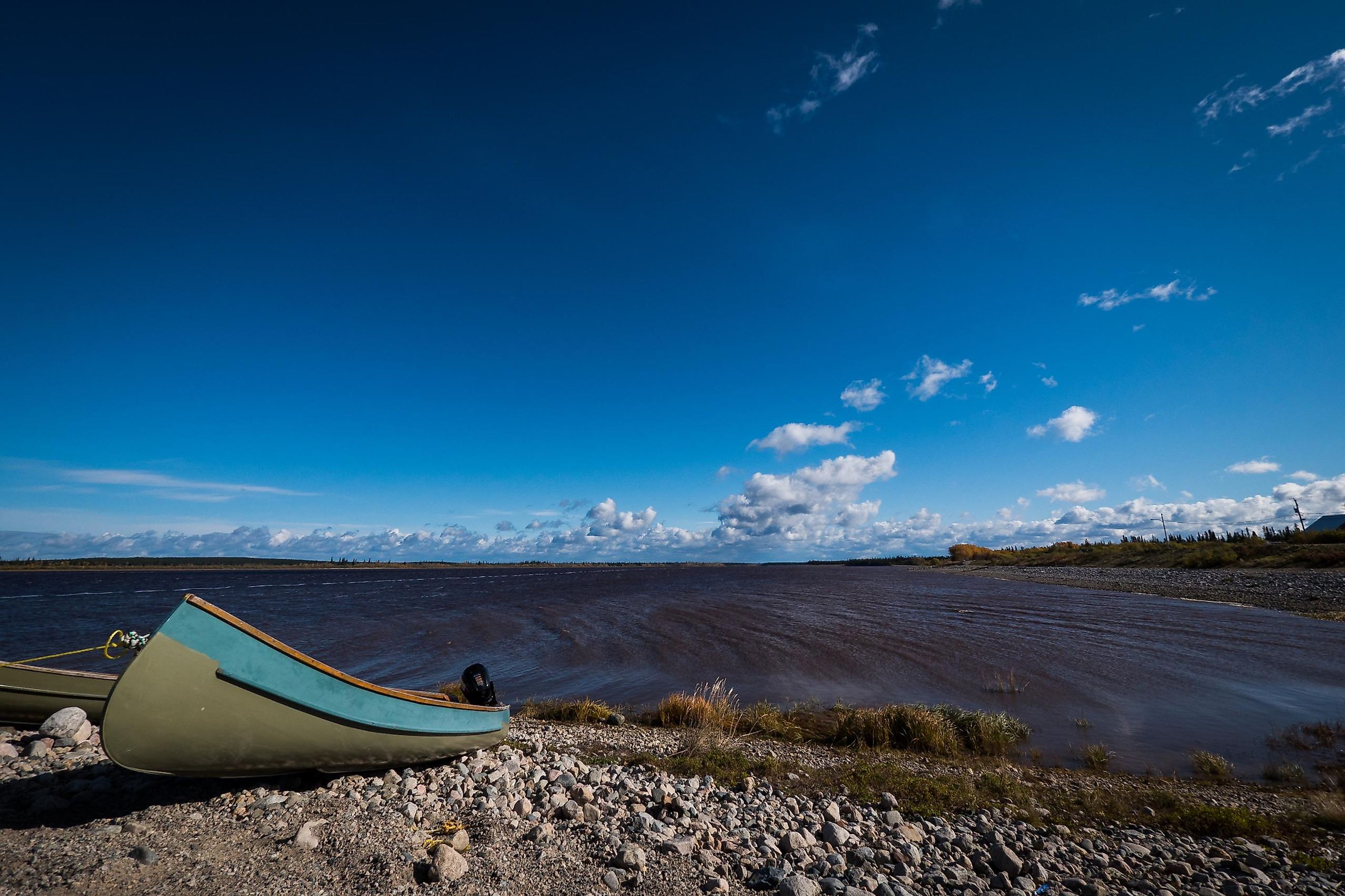
James Bay
Covering an area of 68,300 km2, the James Bay is a southern extension of the Hudson Bay, located in eastern Canada. The bay was named in the honor of a Welsh Captain, Thomas James, who had explored the area in 1631. James Bay is bordered by the Canadian province of Ontario in the west and by Quebec in the east.

Geography
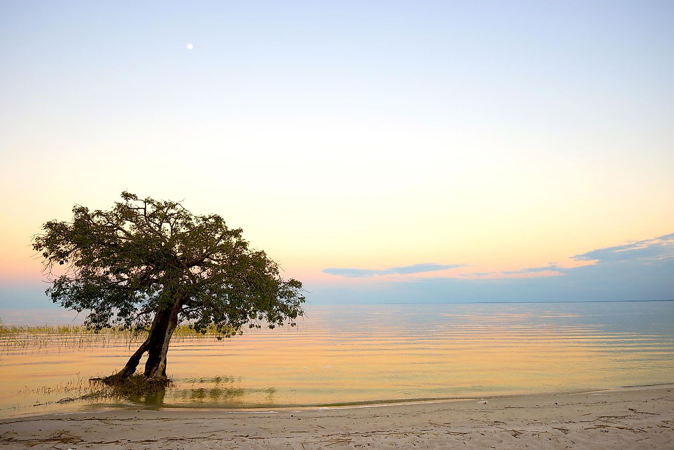
The James Bay is approximately 443 km long and 217 km wide. The bay is relatively shallow with an average depth of only about 60 m. The James Bay is considered to be the southern extension of the Arctic Archipelago Marine ecozone. Large areas on the western shore of James Bay are considered to be a part of the Polar Bear Provincial Park. The James Bay freezes after the Hudson Bay every winter and is also the first to thaw every summer.
Hundreds of small and large rivers drain into the James Bay. Some of the significant rivers include Albany, Attawapiskat, Broadback, Eastmain, Cheepash, Harricana, Rupert, Nottaway, Moose, Muketei, Kesagami, and La Grande rivers. The huge freshwater outflow from these rivers greatly decreases the salinity of the James Bay.

There are numerous scattered islands in James Bay. Some of the notable islands include Akimiski, Spencer, Grey Goose, Weston, Trodely, Charlton, North and South Twins islands. Covering an area of 3,001 km2, Akimiski Island is the largest island in James Bay. The Akimiski island is mainly a coastal wetland and hosts the Akimiski Island Migratory Bird Sanctuary which acts as an important nursing and feeding ground for several migratory birds. The islands that are within the James Bay are part of the Canadian territory of Nunavut.
Situated to the south of James Bay is Hannah Bay. This bay consists of marshes, swamps, mud, salt-flats, sand, freshwater ponds, and peatlands along its shores. This area has been designated as a wetland of international importance, also housing two important migratory bird sanctuaries: The Hannah Bay Bird Sanctuary and the Moose River Bird Sanctuary.
Marine Life

The notable fish that are found in the James Bay include capelin, Arctic charr, Brook trout, whitefish, cisco, and sculpins. Many seabirds including common eider, snow geese, Canada geese, glaucous and herring gulls, diving ducks, Arctic terns, and black guillemots are found here. The important migratory birds that are found here are the red knot and the Hudsonian godwit. The significant marine mammals that are found in the James Bay are different types of seals (ringed seal, bearded seal, and harbor seal), walrus, beluga whales, and polar bears.
Brief History

The Indigenous Cree people were already living along the shores of the James Bay much before the arrival of Europeans. The Dutch explorer, Sir Henry Hudson, was the first European to enter the region in 1610. The Welsh Captain, Thomas James, successfully explored the bay in 1631.
James Bay has been an important part of Canada’s history. It served as a significant location for the establishment of the Hudson’s Bay Company and for the expansion of the British into Canada. The first European fur-trading post, Charles Fort, was established on the James Bay by two explorers, Captain Zachariah Gillam and Medard des Groseilliers.
The James Bay is an important site for the construction of several large hydroelectric projects. The James Bay Project generates about 83 billion kWh of electricity annually. The hydroelectric projects have mainly been constructed on the La Grande and Eastmain rivers which are a part of the James Bay watershed. Some rivers that drain into the James Bay, like Albany, Moose, Missinaibi, and Broadback, also serve as popular sites for recreational activities. Five communities that belong to the Indigenous Cree people are located along the western shores of the James Bay. These include Attawapiskat, Fort Albany, Kashechewan, Moose Factory, and Moosonee. Along the eastern shores, the four communities are Eastmain, Chisasibi, Wemindji, and Waskaganish.