Chukchi Sea
Covering an area of 582,000 km2, the Chukchi Sea is a marginal sea of the Arctic Ocean. It was named after the Indigenous Chukchi people who reside along the shores of the sea as well as on the Chukotka Peninsula. The International Date Line passes over the Chukchi Sea from northwest to southeast. The sea hosts significant biodiversity and supports a population of over 2,000 polar bears.
Where Is The Chukchi Sea?

The Chukchi Sea is situated between Russia and America, near northeastern Siberia and northwestern Alaska. It is bounded by Wrangel Island (Russia), the Long Strait, and the East Siberian Sea in the west; and by Alaska, Point Barrow, and the Beaufort Sea in the east. The sea is connected with the Bering Sea and the Pacific Ocean through the Bering Strait at its southernmost end.
Important Geographical Features

The Chukchi Sea is relatively shallow and has an estimated average depth of 77 m. The sea’s deepest point is 1,256 m at its northern part. The sea remains covered with ice for most time of the year and is only navigable from the second half of July to the first half of October. However, during this time the Chukchi sea can be navigated only in the eastwards and westwards direction from the shallow Strait of Bering and also in the southward direction along the Siberian coast that is characterized by the ice-bearing currents. The coastline of the Chukchi Sea is weakly indented and forms some large bays such as the Kolyuchinskaya Bay. The Alaskan rivers that drain into the Chukchi Sea include Kobuk, Kivalina, Kukpuk, Noatak, Wulik, Utukok, and other rivers. Chegitun, Amguyema, and loniveyem are some of the Siberian rivers that drain into the Chukchi Sea.
Compared to other Arctic seas, there are very few islands in the Chukchi Sea. The principal islands include Wrangel Island and Herald Island. Some of the other smaller islands are situated near the coastlines of Alaska and Siberia.
Marine Life

The Chukchi Sea provides critical habitat for a variety of organisms ranging from ice seals, walruses, and whales to several seabirds and polar bears. The ice-edges of the sea support many phytoplankton and hence serve as a critical nutrient base for all the marine Arctic wildlife. This shallow sea also hosts a few crustaceans, mollusks, and other marine invertebrates. The Chukchi Sea supports more than 2,000 polar bears, which accounts for 10% of their world population and half of all polar bears that are found in America. The polar bears integrally depend on sea ice for hunting, resting, breeding, and nursing their young ones.
Many different species of seals are also found in the Chukchi Sea. These include the ringed seal, ribbon seal, spotted seals, and bearded seals. The different species of whales that are found here include the endangered fin whale, humpback, and gray whales. The endangered bowhead whales of the western Arctic, beluga whales, and Pacific walruses also migrate along the Chukchi Sea coast. The Chukchi Sea serves as breeding, feeding, and nursing grounds for several seabirds, shorebirds, and waterfowls. The sea is the location of several “Important Bird Areas” and hosts more than 15 avian species along its seashores, bays, and also on rivers that drain into it. Some of the notable birds include the Kittlitz’s Murrelets, spectacled eiders, Northern Fulmars, and yellow-billed loons.
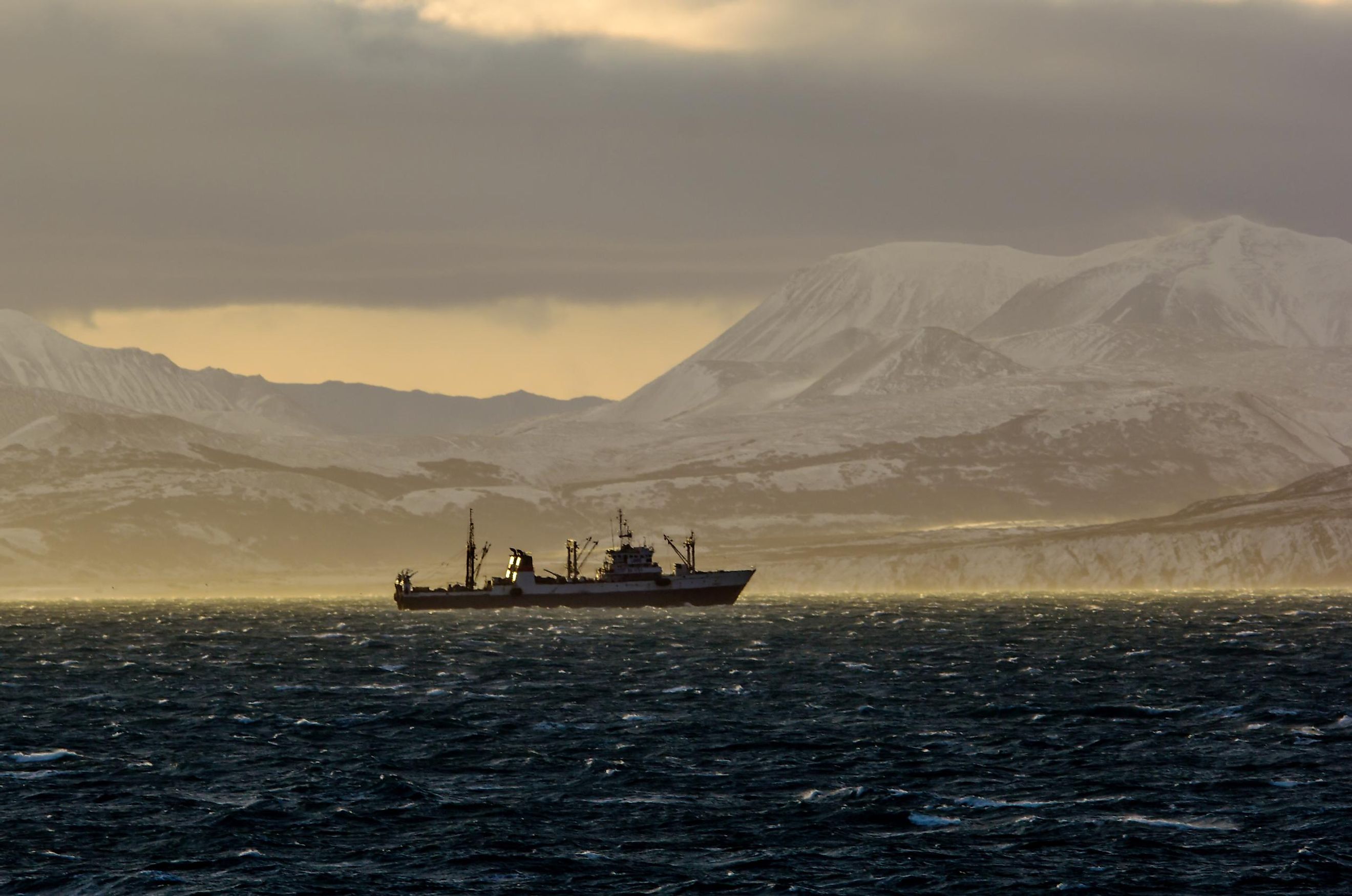
Economy

It is believed that the Chukchi Sea holds more than 30 billion barrels of oil and natural gas reserves. Several oil companies have been competing for leases for exploring the oil reserves in the area. The Chukchi Sea also serves as a significant seaport and a major docking point for many ships. It also functions as an important link point for the Pacific ports of America and the other Far Eastern ports. The biggest Russian port on the Chukchi Sea is Uelen. The Port of Uelen is of great economic importance as several valuable materials like oil, timber, and building materials are transported through this port.