Why Isn't Earth Perfectly Round?
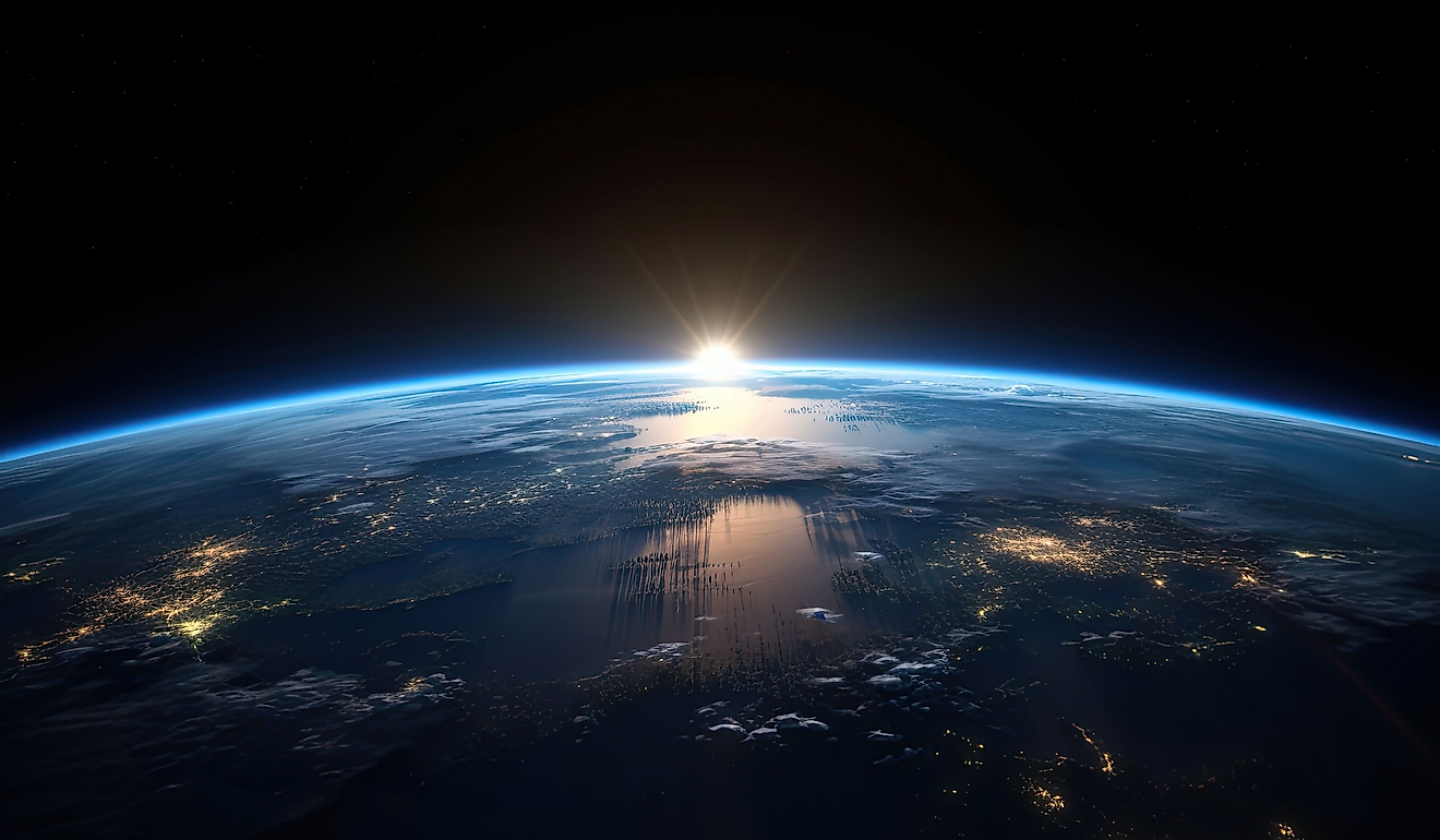
Today, we know from satellite photos that the Earth is round. While we might not realize it, this idea is relatively old. Before Columbus's travels, the idea that the Earth is round dates to ancient Greek times. Scholars such as Aristotle believed the Earth was round.
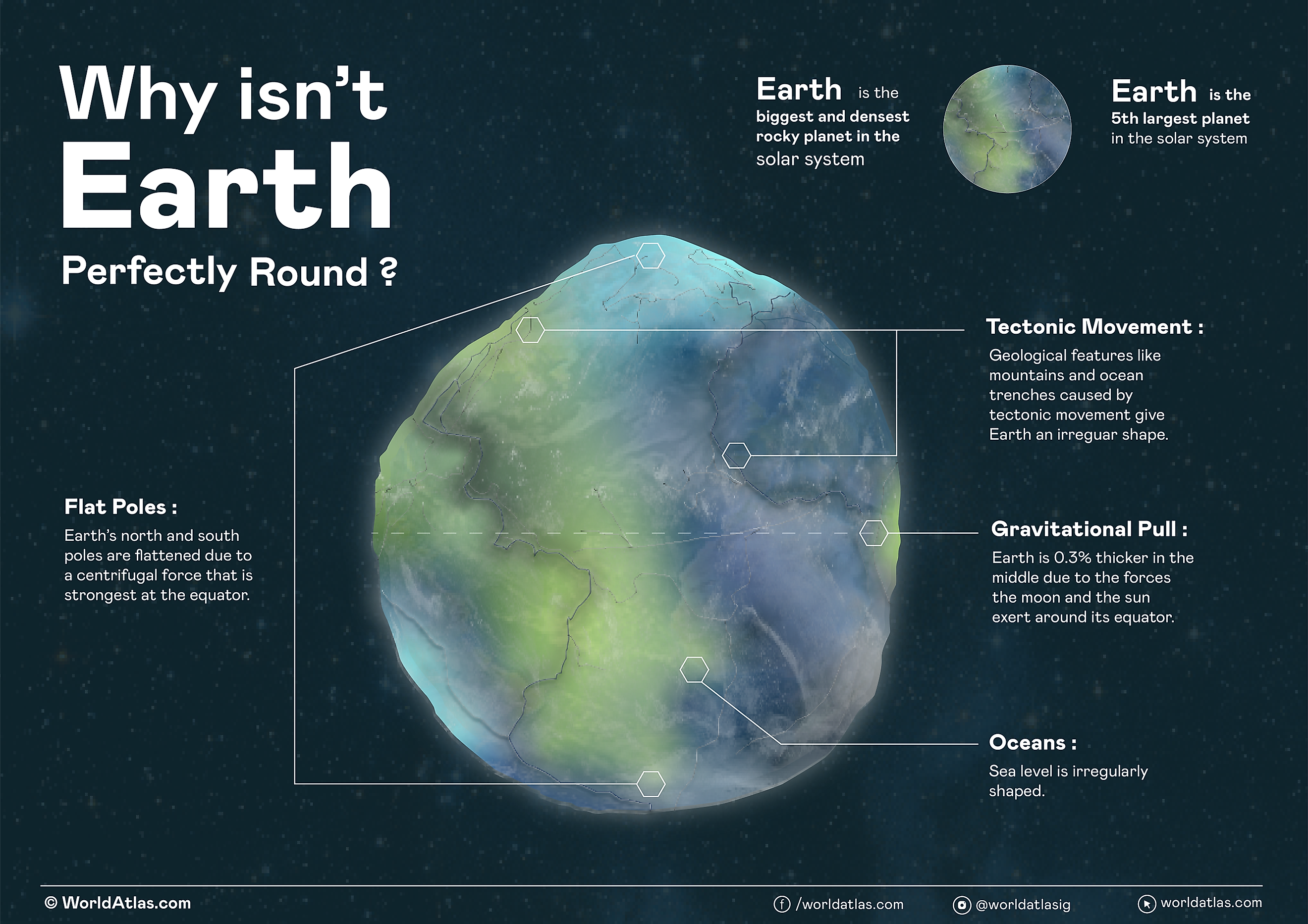
While we know the Earth is round, it isn’t a perfect sphere. Instead of being a perfect sphere, the earth is wider at certain points. There are many factors responsible for the irregular sphere shape of the Earth. They include centrifugal force, gravity, and geological features.
Historical Understanding

Many people throughout history have studied the Earth's shape, and different cultures have had different perceptions of what the Earth looked like. Some cultures believed the earth was a flat rectangular shape, while other cultures have seen the earth as a cyclical shape. The ancient Egyptians believed the earth was a flat, rectangular shape. In Mesopotamia, the common belief was that the earth was a cyclical shape. In Ancient Greece, scholars such as Pythagoras and Aristotle introduced the idea that the earth could have volume. However, the ancient Greeks didn't all agree that the earth was a round sphere. For example, Plato saw the earth as cubic. The Pythagoreans and Aristotle believed the earth was a sphere.
In the 6th century BCE, the philosopher Pythagoras observed that other planets were spherical in shape and believed Earth was also a sphere. Later, in the 4th century BCE, Aristotle tried to use the Earth's circumference to measure the size of the Earth. The concept of the shape of the earth has evolved over time, and today, most people agree the earth is round. Today, we can see the round shape of the Earth from satellite images.
Earth's Rotation and Oblate Spheroid Shape

Satellite images and measurements of Earth's gravitational field show us that the Earth is not a perfect sphere. Instead, it is an oblate spheroid shape. An oblate spheroid is a shape where the sphere flattens at the poles. The shape is a result of the way the Earth spins. Since the Earth rotates around the poles, the outer edges must move faster than everything on the inside as the Earth spins. Things that are at the edge always must move a bit faster in this kind of rotation. For example, think of how fast the outer edge of a fan must move compared to the inner part. The circular, outward force on the Earth is centrifugal force. The centrifugal force moves outward away from the axis of the Earth. This is directly opposite to the direction of gravity at the equator.
Gravitational Forces

As the Earth spins, gravity holds the edges in, but matter naturally wants to come out. As a result, there is a bit of a bulge in the equator. Earth is 0.3% thicker in the middle than it is at the top or bottom. Other planets, such as Saturn and Jupiter, have a more notable center bulge because of this phenomenon.
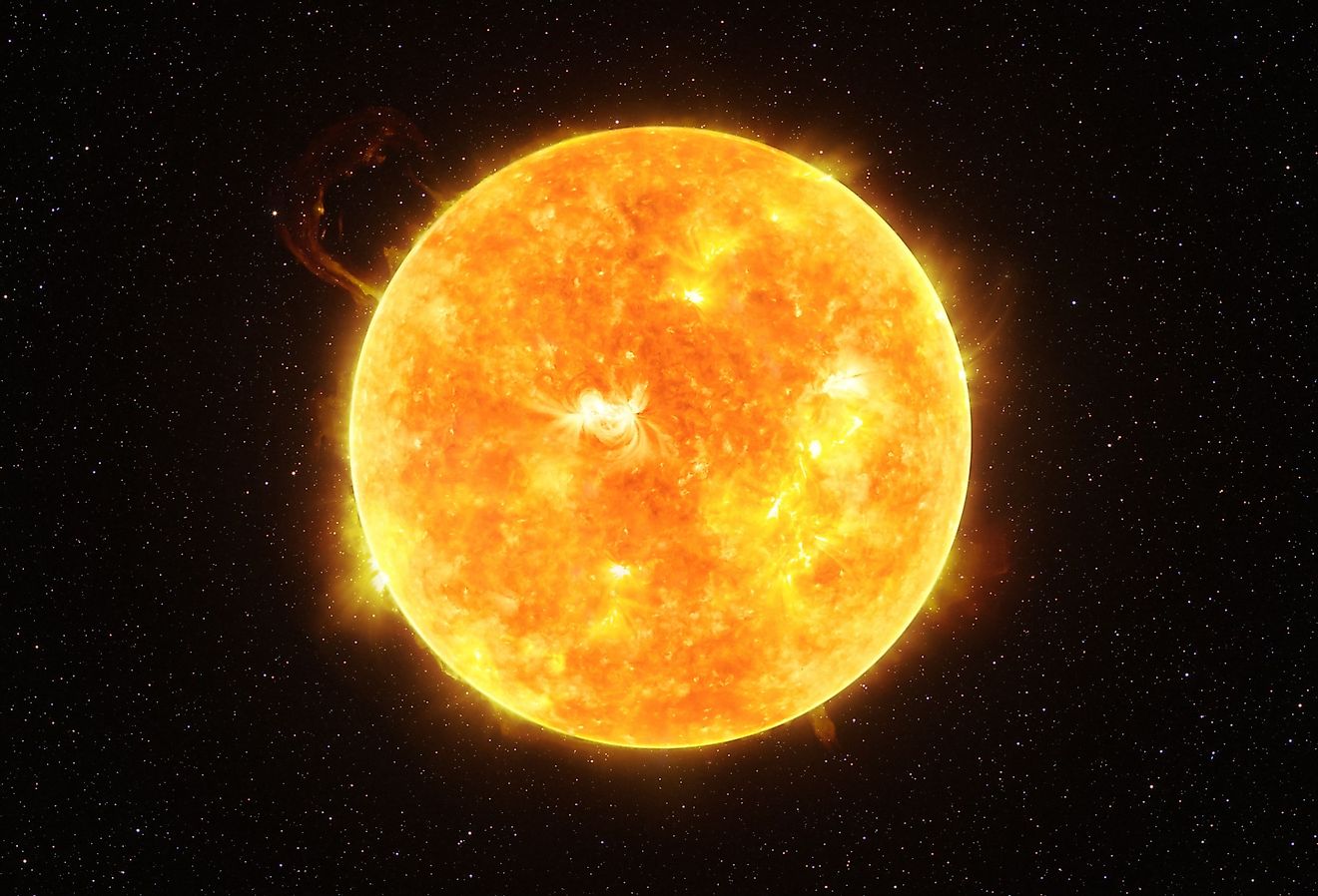
There are other gravitational forces at work here, too. Gravitational force is not the same for every object. The mass of an object determines the object's gravitational force. Bigger objects will have more of a gravitational pull. The sun is so big it pulls Earth in, and this is why Earth and other planets orbit the sun. The Moon also exerts a gravitational force on Earth.
Geological Features and Tectonic Movements

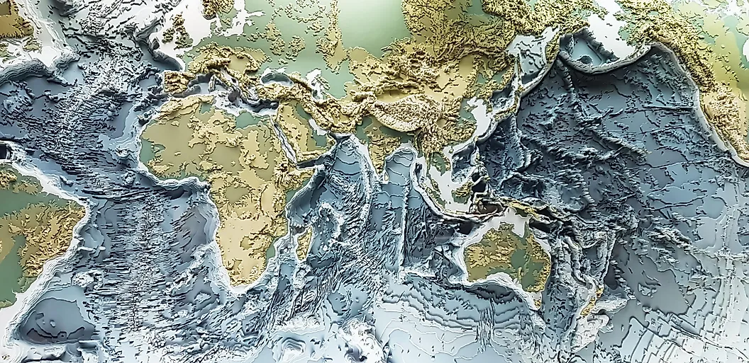
Geological features also contribute to the irregularities of Earth’s shape. A perfect sphere wouldn't have mountains and ocean trenches like Earth does. Earth has mountains that rise almost as high as 30,000 feet from the planet's surface. There are also ocean trenches that dive down 36,000 feet. On top of that, the Earth's sea level is an irregular shape, and there are hills and valleys on the ocean's surface. All these geological features distort the surface of the Earth from being a perfect sphere.
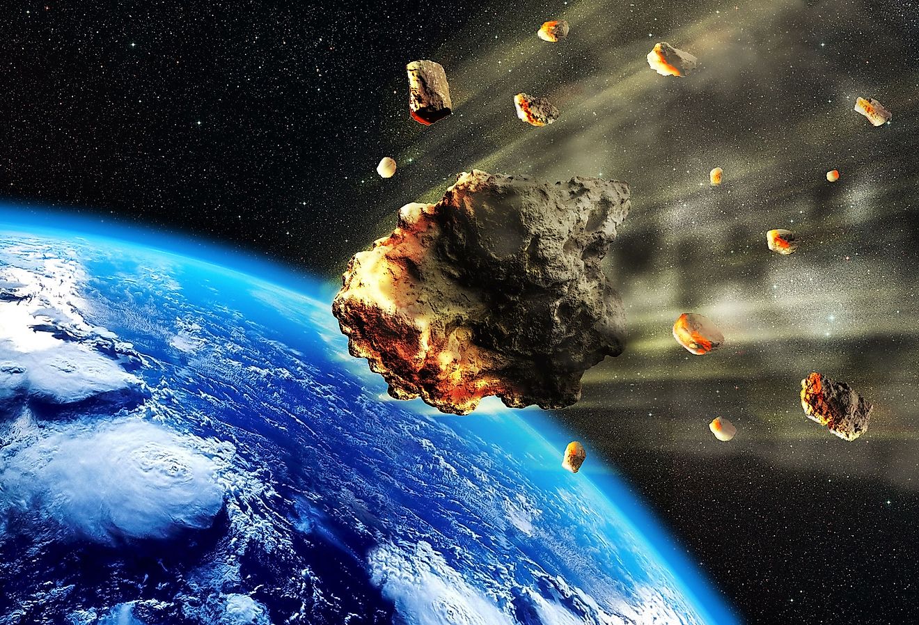
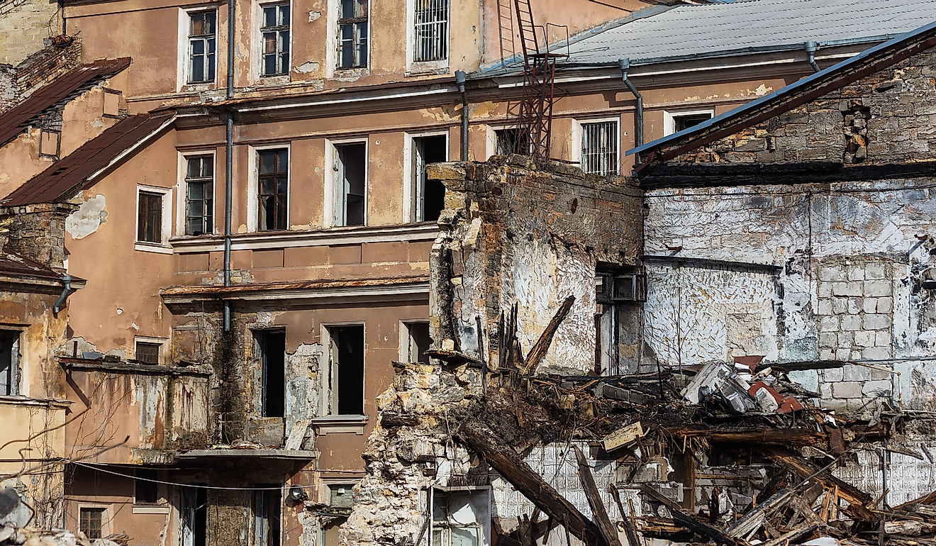
The combination of phenomena creating Earth's surface also subject the planet's surface to constant change. For example, the changing tides of the ocean affect the ocean and crust. Change to the Earth's surface is also slow with tectonic plate movement, which can cause cracks in the Earth's surface and continents to drift apart. Other events that contribute to the irregularities in Earth's surface include earthquakes, volcanic eruptions, and meteor strikes.
Measurement and Earth's Geoid Shape
The ocean is a specific geological feature that makes measuring the Earth as a sphere difficult. To better estimate the Earth's shape, scientists use a model called the Geoid. This model uses the Earth's mean sea level as a reference point to draw the Earth as a sphere. However, the Geoid also includes areas of land mass. Drawing the reference line doesn't consider environmental factors such as wind and rain. The line is everywhere where Earth is perpendicular to the pull of gravity.
Surveyors can make measurements using the Geoid model with a combination of complex mathematics and gravity readings on land. The Geoid model helps create maps and is essential for accurate positioning and navigation.
Implications for Satellite Navigation
The Geoid is a useful model in a field of Earth Science called Geodesy. This is a discipline that uses the Geoid as a reference surface to measure elevations and depths accurately on the Earth's surface. Geodesy tracks how the Earth has changed over time. While the Earth might seem relatively stable, over centuries, land has risen, oceans have changed, and entire continents have drifted. Geodesy tracks these changes using the Geoid model.
Today, scientists use various techniques in geodesy to track the Earth’s geographical attributes. Some of the techniques include space-geodetic techniques of Very Long Baseline Interferometry (VLBI), Satellite Laser Ranging (SLR), Global Navigation Satellite Systems (GNSS) like the US Global Positioning System (GPS), and the French Doppler Orbitography and Radio-Positioning by Integrated Satellite (DORIS) system. Satellite Geodesy uses satellites to measure and gain accurate maps of the Earth's surface. Satellite geodetic data is useful for navigation and in fields such as hydrography, oceanography, and geophysics.
In Conclusion
Overall, a variety of factors contribute to the Earth's shape. The centrifugal force and effects of gravity contribute to Earth being flatter at the poles and having a slight center bulge. Geological features such as mountains, changing ocean tides, and plate tectonics also directly alter what the Earth's surface looks like. The geological changes to the Earth's surface make irregularities, unlike a sphere. To map out the surface of the Earth a Geoid model is helpful. As technology advances, we can take better satellite pictures of the Earth, which gives us a better representation of what our planet looks like. While our conception of the Earth has changed over time, most people agree today that the Earth is a sphere, even if that sphere isn't perfect.