Where is Washakie County, Wyoming?
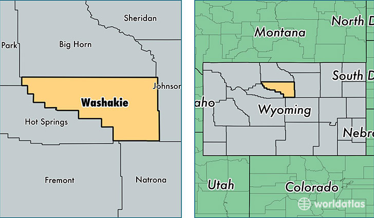
Washakie County is a county equivalent area found in Wyoming, USA. The county government of Washakie is found in the county seat of Worland.
With a total 5,808.58 sq. km of land and water area, Washakie County, Wyoming is the 275th largest county equivalent area in the United States. Home to 8,322 people, Washakie County has a total 3801 households earning 47104 on average per year.
Washakie County, Wyoming - Quick Facts
| FIPS Code | 56043 |
| Area Codes | 307 |
| Time Zone | MST |
| Major Cities | Worland (population: 7,803), Ten Sleep (population: 726) |
| Land Area | 3,213 sq miles |
| Water Area | 2,239 sq miles |
| Household Income | $47,104 |
| Housing Units | 3,801 |
| Median Home Value | $162,600 |
| High School Grads | 91% of population |
| Holders of Bachelors Degrees | 24% of population |
| Retail Spending | $12,596 per capita |
| Food & Accomodation Sales | $10,175 per capita |
This page was last updated on June 30, 2016.