Where is Uinta County, Wyoming?
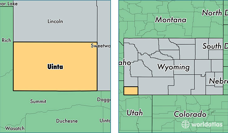
Uinta County is a county equivalent area found in Wyoming, USA. The county government of Uinta is found in the county seat of Evanston.
With a total 5,406.9 sq. km of land and water area, Uinta County, Wyoming is the 303rd largest county equivalent area in the United States. Home to 20,904 people, Uinta County has a total 8714 households earning 58515 on average per year.
Uinta County, Wyoming - Quick Facts
| FIPS Code | 56041 |
| Area Codes | 307 |
| Time Zone | MST |
| Major Cities | Evanston (population: 14,551), Lyman (population: 3,637), Mountain View (population: 1,852), Fort Bridger (population: 755), Robertson (population: 215), Lonetree (population: 48) |
| Land Area | 8,071 sq miles |
| Water Area | 2,081 sq miles |
| Household Income | $58,515 |
| Housing Units | 8,714 |
| Median Home Value | $181,700 |
| High School Grads | 89% of population |
| Holders of Bachelors Degrees | 19% of population |
| Retail Spending | $20,626 per capita |
| Food & Accomodation Sales | $35,497 per capita |
This page was last updated on June 30, 2016.