Where is Platte County, Wyoming?
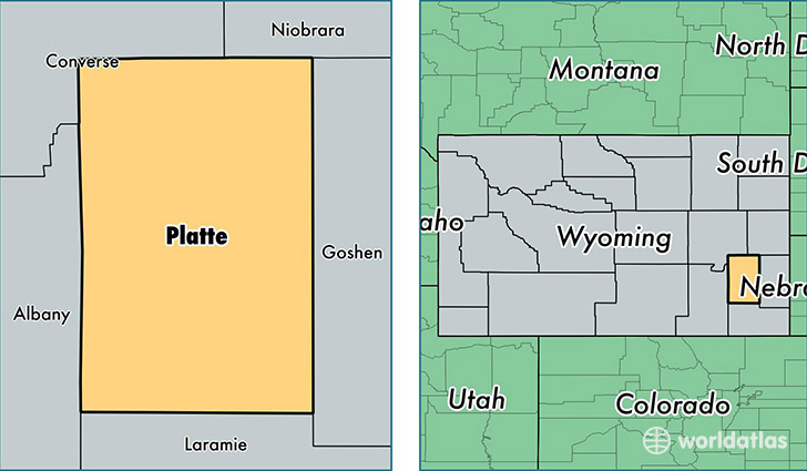
Platte County is a county equivalent area found in Wyoming, USA. The county government of Platte is found in the county seat of Wheatland.
With a total 5,467.06 sq. km of land and water area, Platte County, Wyoming is the 299th largest county equivalent area in the United States. Home to 8,799 people, Platte County has a total 4668 households earning 45512 on average per year.
Platte County, Wyoming - Quick Facts
| FIPS Code | 56031 |
| Area Codes | 307 |
| Time Zone | MST |
| Major Cities | Wheatland (population: 6,535), Guernsey (population: 1,315), Glendo (population: 518), Chugwater (population: 403), Hartville (population: 133) |
| Land Area | 3,397 sq miles |
| Water Area | 2,084 sq miles |
| Household Income | $45,512 |
| Housing Units | 4,668 |
| Median Home Value | $147,100 |
| High School Grads | 93% of population |
| Holders of Bachelors Degrees | 23% of population |
| Retail Spending | $11,163 per capita |
| Food & Accomodation Sales | $12,103 per capita |
This page was last updated on June 30, 2016.