Where is Goshen County, Wyoming?
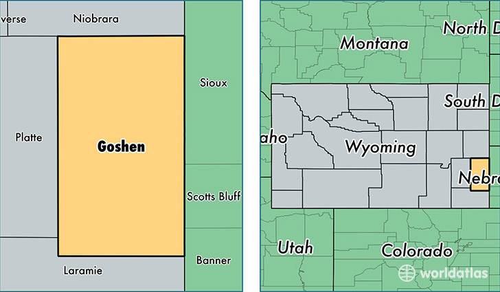
Goshen County is a county equivalent area found in Wyoming, USA. The county government of Goshen is found in the county seat of Torrington.
With a total 5,781.3 sq. km of land and water area, Goshen County, Wyoming is the 278th largest county equivalent area in the United States. Home to 13,514 people, Goshen County has a total 5941 households earning 43257 on average per year.
Goshen County, Wyoming offers the following attraction to visitors: Fort Laramie NHS
Goshen County, Wyoming - Quick Facts
| FIPS Code | 56015 |
| Area Codes | 307 |
| Time Zone | MST |
| Major Cities | Torrington (population: 10,533), Lingle (population: 1,025), Lagrange (population: 653), Yoder (population: 491), Fort Laramie (population: 487), Huntley (population: 290), Veteran (population: 192), Hawk Springs (population: 110), Jay Em (population: 49), Van Tassell (population: 38) |
| Land Area | 5,218 sq miles |
| Water Area | 2,225 sq miles |
| Household Income | $43,257 |
| Housing Units | 5,941 |
| Median Home Value | $139,700 |
| High School Grads | 89% of population |
| Holders of Bachelors Degrees | 21% of population |
| Retail Spending | $9,614 per capita |
| Food & Accomodation Sales | $11,779 per capita |
This page was last updated on June 30, 2016.