Where is Albany County, Wyoming?
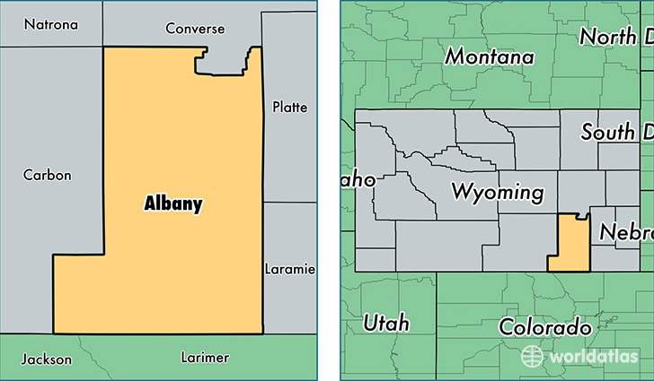
Albany County is a county equivalent area found in Wyoming, USA. The county government of Albany is found in the county seat of Laramie.
With a total 11,159.63 sq. km of land and water area, Albany County, Wyoming is the 115th largest county equivalent area in the United States. Home to 37,811 people, Albany County has a total 18560 households earning 42774 on average per year.
Albany County, Wyoming - Quick Facts
| FIPS Code | 56001 |
| Area Codes | 307 |
| Time Zone | MST |
| Major Cities | Laramie (population: 36,322), Rock River (population: 379), Centennial (population: 292), Jelm (population: 102), Bosler (population: 61), Garrett (population: 53), Buford (population: 23), Tie Siding (population: 16) |
| Land Area | 14,599 sq miles |
| Water Area | 4,274 sq miles |
| Household Income | $42,774 |
| Housing Units | 18,560 |
| Median Home Value | $201,500 |
| High School Grads | 95% of population |
| Holders of Bachelors Degrees | 48% of population |
| Retail Spending | $14,433 per capita |
| Food & Accomodation Sales | $65,787 per capita |
| Universities and Colleges | University of Wyoming |
This page was last updated on June 30, 2016.