Where is Duchesne County, Utah?
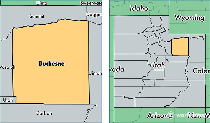
Duchesne County is a county equivalent area found in Utah, USA. The county government of Duchesne is found in the county seat of Duchesne.
With a total 8,432.68 sq. km of land and water area, Duchesne County, Utah is the 168th largest county equivalent area in the United States. Home to 20,380 people, Duchesne County has a total 9627 households earning 57683 on average per year.
Duchesne County, Utah - Quick Facts
| FIPS Code | 49013 |
| Area Codes | 435 |
| Time Zone | MST |
| Major Cities | Roosevelt (population: 11,712), Duchesne (population: 3,436), Myton (population: 1,455), Neola (population: 1,154), Bluebell (population: 765), Altamont (population: 749), Fruitland (population: 467), Mountain Home (population: 415), Tabiona (population: 384), Altonah (population: 312) |
| Land Area | 7,869 sq miles |
| Water Area | 3,241 sq miles |
| Household Income | $57,683 |
| Housing Units | 9,627 |
| Median Home Value | $168,000 |
| High School Grads | 86% of population |
| Holders of Bachelors Degrees | 16% of population |
| Retail Spending | $13,340 per capita |
| Food & Accomodation Sales | $13,557 per capita |
This page was last updated on June 30, 2016.