Where is Manchester, NH?
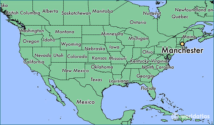
Manchester is a city found in New Hampshire, The United States Of America. It is located 43.00 latitude and -71.45 longitude and it is situated at elevation 81 meters above sea level.
Manchester has a population of 109,565 making it the biggest city in New Hampshire. It operates on the EDT time zone.
Quick facts
| Country | The United States Of America |
| State | New Hampshire |
| Population | 109,565 |
| Elevation | 81 m over sea level |
| Time Zone | EDT |
| Longitude | -71.454790 |
| Latitude | 42.995640 |
Manchester has a population of around 110139, of which 55121 (50%) are male and 55018 (49%) are female. The average age of the inhabitants of Manchester is 37.98, meaning that the average person is above the national median age of 37. For every male, there are approximately 1 females, meaning that the population is relatively evenly distributed between males and female(s).
Of Manchester's 110139 residents, around 107617 (97.70%) identify as having a single race. The majority of the population is white, which consists of 86.40% of the population. Of the remaining population, 5648 are black/African Americans (5.10%), 178 are native Americans (0.20%), 5029 are asians (4.60%), 4 are pacific islanders (0.00%), 1649 are other (1.50%).
The median income of households in Manchester is $54282.00, meaning that most of the households are above the poverty threshold for families of three. Of the total population, 6.30% of households reported an annual income of less than $10,000.
Manchester, NH Zipcodes
The city of Manchester has 5 zipcodes recognized by the United States Census Bureau: 3101, 3102, 3103, 3104, 3109.