Where is Carroll County, Mississippi?
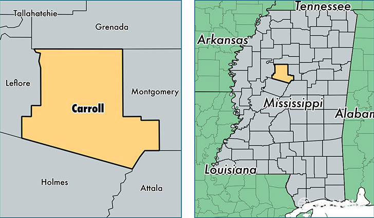
Carroll County is a county equivalent area found in Mississippi, USA. The county government of Carroll is found in the county seat of Carrollton.
With a total 1,643.57 sq. km of land and water area, Carroll County, Mississippi is the 1628th largest county equivalent area in the United States. Home to 10,254 people, Carroll County has a total 5023 households earning 31039 on average per year.
Carroll County, Mississippi - Quick Facts
| FIPS Code | 28015 |
| Area Codes | 662 |
| Time Zone | CST |
| Major Cities | Carrollton (population: 3,204), Vaiden (population: 2,069), Coila (population: 1,271), McCarley (population: 517), North Carrollton (population: 437) |
| Land Area | 3,959 sq miles |
| Water Area | 628 sq miles |
| Household Income | $31,039 |
| Housing Units | 5,023 |
| Median Home Value | $68,800 |
| High School Grads | 78% of population |
| Holders of Bachelors Degrees | 12% of population |
| Retail Spending | $2,344 per capita |
| Food & Accomodation Sales | $667 per capita |
This page was last updated on June 30, 2016.