Where is Roseau County, Minnesota?
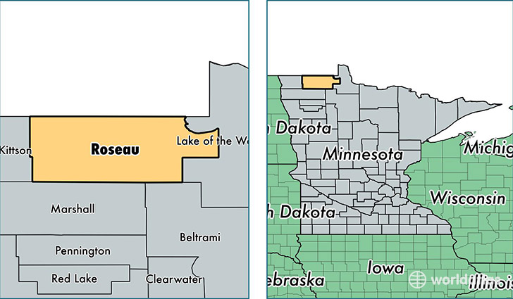
Roseau County is a county equivalent area found in Minnesota, USA. The county government of Roseau is found in the county seat of Roseau.
With a total 4,346.34 sq. km of land and water area, Roseau County, Minnesota is the 399th largest county equivalent area in the United States. Home to 15,679 people, Roseau County has a total 7378 households earning 50759 on average per year.
Roseau County, Minnesota - Quick Facts
| FIPS Code | 27135 |
| Area Codes | 218 |
| Time Zone | CST |
| Major Cities | Roseau (population: 5,520), Warroad (population: 5,129), Greenbush (population: 1,615), Badger (population: 1,145), Salol (population: 791), Roosevelt (population: 784), Wannaska (population: 483), Strathcona (population: 361) |
| Land Area | 6,054 sq miles |
| Water Area | 1,671 sq miles |
| Household Income | $50,759 |
| Housing Units | 7,378 |
| Median Home Value | $103,800 |
| High School Grads | 91% of population |
| Holders of Bachelors Degrees | 18% of population |
| Retail Spending | $11,273 per capita |
| Food & Accomodation Sales | $24,494 per capita |
This page was last updated on June 30, 2016.