Where is Jackson County, Minnesota?
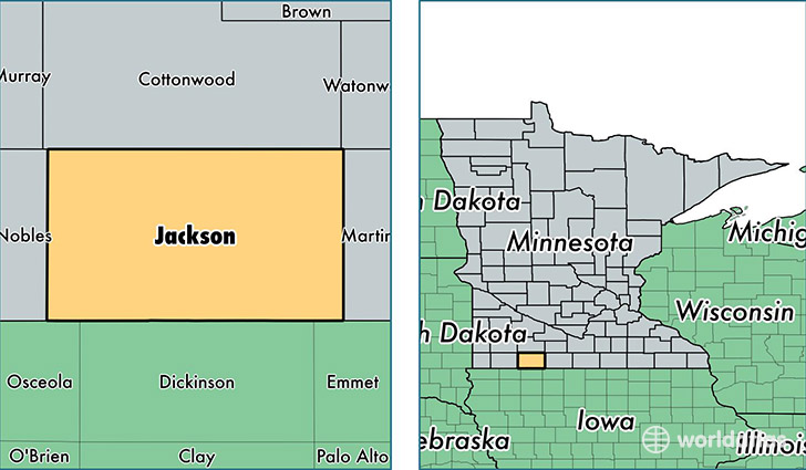
Jackson County is a county equivalent area found in Minnesota, USA. The county government of Jackson is found in the county seat of Jackson.
With a total 1,862.81 sq. km of land and water area, Jackson County, Minnesota is the 1372nd largest county equivalent area in the United States. Home to 10,269 people, Jackson County has a total 4986 households earning 51681 on average per year.
Jackson County, Minnesota - Quick Facts
| FIPS Code | 27063 |
| Area Codes | 507 |
| Time Zone | CST |
| Major Cities | Jackson (population: 4,484), Lakefield (population: 2,746), Heron Lake (population: 1,149), Okabena (population: 400) |
| Land Area | 3,965 sq miles |
| Water Area | 703 sq miles |
| Household Income | $51,681 |
| Housing Units | 4,986 |
| Median Home Value | $97,700 |
| High School Grads | 92% of population |
| Holders of Bachelors Degrees | 18% of population |
| Retail Spending | $7,346 per capita |
| Food & Accomodation Sales | $7,751 per capita |
This page was last updated on June 30, 2016.