Where is Crow Wing County, Minnesota?
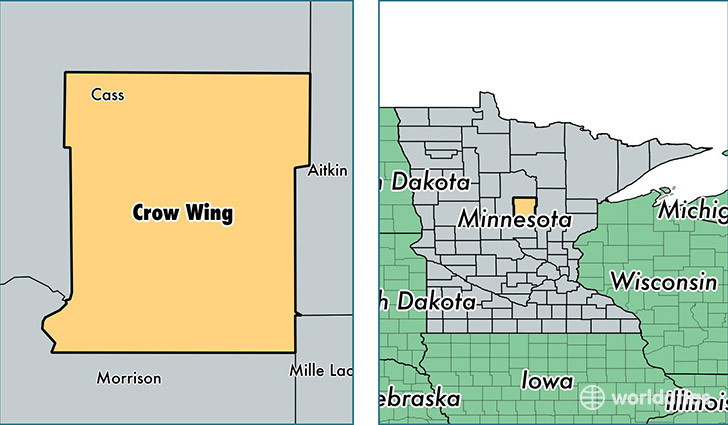
Crow Wing County is a county equivalent area found in Minnesota, USA. The county government of Crow Wing is found in the county seat of Brainerd.
With a total 2,995.38 sq. km of land and water area, Crow Wing County, Minnesota is the 612th largest county equivalent area in the United States. Home to 63,265 people, Crow Wing County has a total 40591 households earning 47058 on average per year.
Crow Wing County, Minnesota - Quick Facts
| FIPS Code | 27035 |
| Area Codes | 218,320 |
| Time Zone | CST |
| Major Cities | Brainerd (population: 29,596), Baxter (population: 7,701), Pequot Lakes (population: 7,487), Nisswa (population: 4,598), Crosby (population: 3,617), Deerwood (population: 3,105), Crosslake (population: 2,395), Merrifield (population: 2,074), Fort Ripley (population: 1,775), Ironton (population: 1,497) |
| Land Area | 24,427 sq miles |
| Water Area | 998 sq miles |
| Household Income | $47,058 |
| Housing Units | 40,591 |
| Median Home Value | $180,300 |
| High School Grads | 92% of population |
| Holders of Bachelors Degrees | 23% of population |
| Retail Spending | $18,535 per capita |
| Food & Accomodation Sales | $149,594 per capita |
This page was last updated on June 30, 2016.