Where is Overland Park, KS?
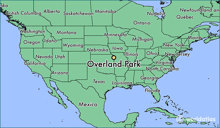
Overland Park is a city found in Kansas, The United States Of America. It is located 38.98 latitude and -94.67 longitude and it is situated at elevation 335 meters above sea level.
Overland Park has a population of 173,372 making it the 2nd biggest city in Kansas. It operates on the CDT time zone, which means that it follows the same time zone as Wichita.
Quick facts
| Country | The United States Of America |
| State | Kansas |
| Population | 173,372 |
| Elevation | 335 m over sea level |
| Time Zone | CDT |
| Longitude | -94.670790 |
| Latitude | 38.982230 |
Overland-park has a population of around 181464, of which 88424 (48%) are male and 93040 (51%) are female. The average age of the inhabitants of Overland-park is 38.13, meaning that the average person is above the national median age of 37. For every male, there are approximately 1.05 females, meaning that the population is relatively evenly distributed between males and female(s).
Of Overland-park's 181464 residents, around 176604 (97.30%) identify as having a single race. The majority of the population is white, which consists of 84.20% of the population. Of the remaining population, 9071 are black/African Americans (5.00%), 439 are native Americans (0.20%), 12990 are asians (7.20%), 71 are pacific islanders (0.00%), 1195 are other (0.70%).
The median income of households in Overland-park is $72463.00, meaning that most of the households are above the poverty threshold for families of three. Of the total population, 3.70% of households reported an annual income of less than $10,000.
Overland Park, KS Zipcodes
The city of Overland Park has 19 zipcodes recognized by the United States Census Bureau: 66013, 66062, 66083, 66085, 66202, 66203, 66204, 66206, 66207, 66209, 66210, 66211, 66212, 66213, 66214, 66215, 66221, 66223, 66224.