Where is Lawrence, KS?
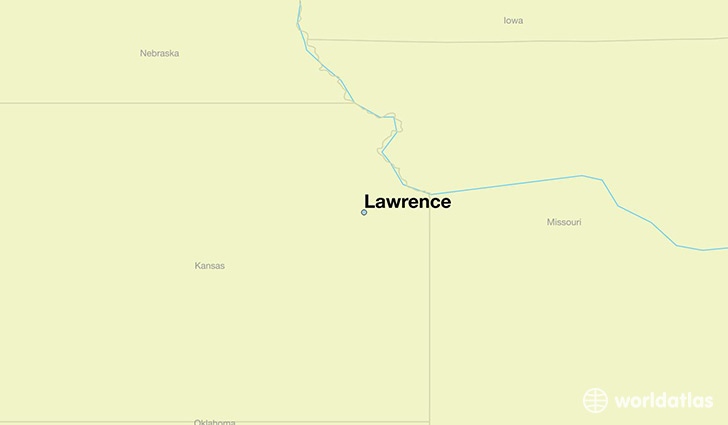
Lawrence is a city found in Kansas, The United States Of America. It is located 38.97 latitude and -95.24 longitude and it is situated at elevation 267 meters above sea level.
Lawrence has a population of 87,643 making it the 6th biggest city in Kansas. It operates on the CDT time zone, which means that it follows the same time zone as Wichita.
Quick facts
| Country | The United States Of America |
| State | Kansas |
| Population | 87,643 |
| Elevation | 267 m over sea level |
| Time Zone | CDT |
| Longitude | -95.235250 |
| Latitude | 38.971670 |
Lawrence has a population of around 91305, of which 45652 (49%) are male and 45653 (50%) are female. The average age of the inhabitants of Lawrence is 32.85, meaning that the average person is below the national median age of 37. For every male, there are approximately 1 females, meaning that the population is relatively evenly distributed between males and female(s).
Of Lawrence's 91305 residents, around 87034 (95.30%) identify as having a single race. The majority of the population is white, which consists of 82.30% of the population. Of the remaining population, 4126 are black/African Americans (4.50%), 2253 are native Americans (2.50%), 4850 are asians (5.30%), 24 are pacific islanders (0.00%), 613 are other (0.70%).
The median income of households in Lawrence is $46406.00, meaning that most of the households are above the poverty threshold for families of three. Of the total population, 9.50% of households reported an annual income of less than $10,000.
Lawrence, KS Zipcodes
The city of Lawrence has 5 zipcodes recognized by the United States Census Bureau: 66044, 66045, 66046, 66047, 66049.