Where is Cedar Rapids, IA?
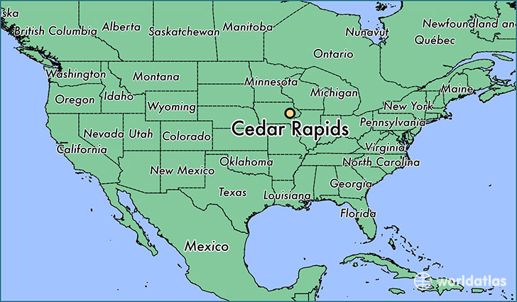
Cedar Rapids is a city found in Iowa, The United States Of America. It is located 42.01 latitude and -91.64 longitude and it is situated at elevation 251 meters above sea level.
Cedar Rapids has a population of 126,326 making it the 2nd biggest city in Iowa. It operates on the CDT time zone, which means that it follows the same time zone as Des Moines.
Quick facts
| Country | The United States Of America |
| State | Iowa |
| Population | 126,326 |
| Elevation | 251 m over sea level |
| Time Zone | CDT |
| Longitude | -91.644070 |
| Latitude | 42.008330 |
Cedar-rapids has a population of around 128829, of which 62773 (48%) are male and 66056 (51%) are female. The average age of the inhabitants of Cedar-rapids is 37.21, meaning that the average person is above the national median age of 37. For every male, there are approximately 1.05 females, meaning that the population is relatively evenly distributed between males and female(s).
Of Cedar-rapids's 128829 residents, around 124278 (96.50%) identify as having a single race. The majority of the population is white, which consists of 86.80% of the population. Of the remaining population, 7840 are black/African Americans (6.10%), 376 are native Americans (0.30%), 2818 are asians (2.20%), 23 are pacific islanders (0.00%), 1373 are other (1.10%).
The median income of households in Cedar-rapids is $53581.00, meaning that most of the households are above the poverty threshold for families of three. Of the total population, 5.90% of households reported an annual income of less than $10,000.
Cedar Rapids, IA Zipcodes
The city of Cedar Rapids has 13 zipcodes recognized by the United States Census Bureau: 52227, 52228, 52233, 52302, 52324, 52328, 52338, 52401, 52402, 52403, 52404, 52405, 52411.