Where is Ames, IA?
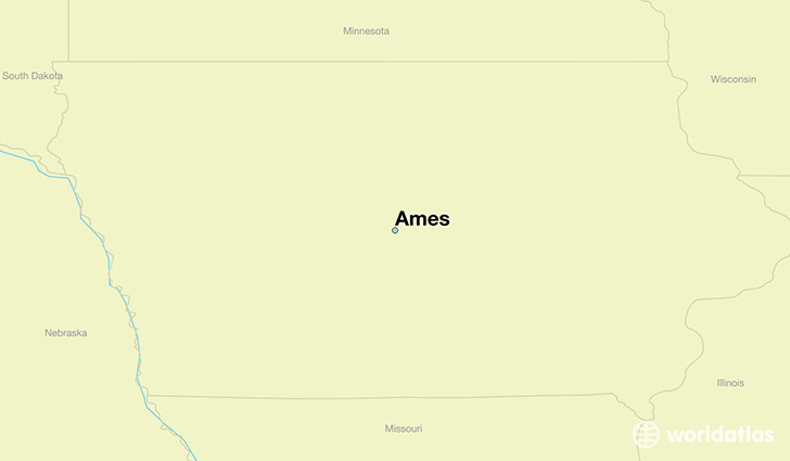
Ames is a city found in Iowa, The United States Of America. It is located 42.03 latitude and -93.62 longitude and it is situated at elevation 292 meters above sea level.
Ames has a population of 58,965 making it the 8th biggest city in Iowa. It operates on the CDT time zone, which means that it follows the same time zone as Des Moines.
Quick facts
| Country | The United States Of America |
| State | Iowa |
| Population | 58,965 |
| Elevation | 292 m over sea level |
| Time Zone | CDT |
| Longitude | -93.619940 |
| Latitude | 42.034710 |
Ames has a population of around 62815, of which 33066 (52%) are male and 29749 (47%) are female. The average age of the inhabitants of Ames is 30.65, meaning that the average person is below the national median age of 37. For every male, there are approximately 0.9 females, meaning that the male population is significantly higher than the female one.
Of Ames's 62815 residents, around 61085 (97.20%) identify as having a single race. The majority of the population is white, which consists of 84.10% of the population. Of the remaining population, 2115 are black/African Americans (3.40%), 85 are native Americans (0.10%), 5791 are asians (9.20%), 31 are pacific islanders (0.00%), 254 are other (0.40%).
The median income of households in Ames is $41616.00, meaning that most of the households are above the poverty threshold for families of three. Of the total population, 15.00% of households reported an annual income of less than $10,000.
Ames, IA Zipcodes
The city of Ames has 4 zipcodes recognized by the United States Census Bureau: 50010, 50011, 50012, 50014.