Where is Tallapoosa County, Alabama?
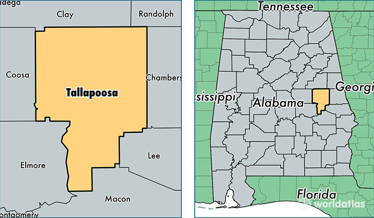
Tallapoosa County is a county equivalent area found in Alabama, USA. The county government of Tallapoosa is found in the county seat of Dadeville.
With a total 1,984.59 sq. km of land and water area, Tallapoosa County, Alabama is the 1247th largest county equivalent area in the United States. Home to 41,165 people, Tallapoosa County has a total 21953 households earning 39130 on average per year.
Tallapoosa County, Alabama offers the following attraction to visitors: Horseshoe Bend NMP
Tallapoosa County, Alabama - Quick Facts
| FIPS Code | 1123 |
| Area Codes | 256,334 |
| Time Zone | CST |
| Major Cities | Alexander City (population: 20,546), Dadeville (population: 8,179), Jacksons Gap (population: 3,228), Camp Hill (population: 2,606), Daviston (population: 1,552) |
| Land Area | 15,894 sq miles |
| Water Area | 717 sq miles |
| Household Income | $39,130 |
| Housing Units | 21,953 |
| Median Home Value | $94,900 |
| High School Grads | 79% of population |
| Holders of Bachelors Degrees | 16% of population |
| Retail Spending | $8,881 per capita |
| Food & Accomodation Sales | $28,222 per capita |
This page was last updated on June 30, 2016.