Where is Sumter County, Alabama?
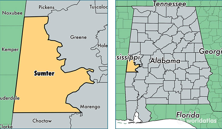
Sumter County is a county equivalent area found in Alabama, USA. The county government of Sumter is found in the county seat of Livingston.
With a total 2,365.49 sq. km of land and water area, Sumter County, Alabama is the 915th largest county equivalent area in the United States. Home to 13,166 people, Sumter County has a total 6708 households earning 22186 on average per year.
Sumter County, Alabama - Quick Facts
| FIPS Code | 1119 |
| Area Codes | 205 |
| Time Zone | CST |
| Major Cities | Livingston (population: 5,334), York (population: 3,038), Cuba (population: 1,882), Emelle (population: 850), Epes (population: 813), Gainesville (population: 638), Panola (population: 326), Bellamy (population: 320) |
| Land Area | 5,083 sq miles |
| Water Area | 904 sq miles |
| Household Income | $22,186 |
| Housing Units | 6,708 |
| Median Home Value | $74,100 |
| High School Grads | 76% of population |
| Holders of Bachelors Degrees | 15% of population |
| Retail Spending | $4,494 per capita |
| Food & Accomodation Sales | $8,199 per capita |
| Universities and Colleges | University of West Alabama |
This page was last updated on June 30, 2016.