Where is Madison County, Alabama?
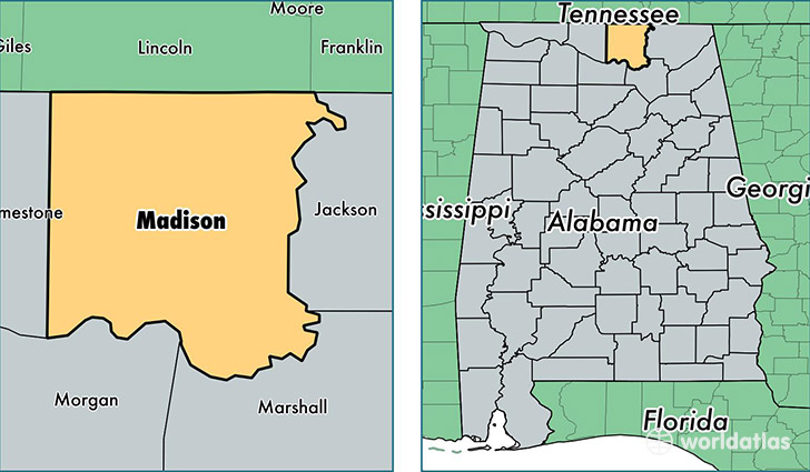
Madison County is a county equivalent area found in Alabama, USA. The county government of Madison is found in the county seat of Huntsville.
With a total 2,104.89 sq. km of land and water area, Madison County, Alabama is the 1149th largest county equivalent area in the United States. Home to 350,299 people, Madison County has a total 152226 households earning 58434 on average per year.
Madison County, Alabama - Quick Facts
| FIPS Code | 1089 |
| Area Codes | 256 |
| Time Zone | CST |
| Major Cities | Huntsville (population: 194,871), Madison (population: 56,076), Harvest (population: 21,191), Owens Cross Roads (population: 14,567), Toney (population: 13,413), Hazel Green (population: 13,098), New Market (population: 11,917), Meridianville (population: 6,564), Gurley (population: 6,425), New Hope (population: 5,189) |
| Land Area | 135,251 sq miles |
| Water Area | 802 sq miles |
| Household Income | $58,434 |
| Housing Units | 152,226 |
| Median Home Value | $164,500 |
| High School Grads | 90% of population |
| Holders of Bachelors Degrees | 39% of population |
| Retail Spending | $14,145 per capita |
| Food & Accomodation Sales | $596,324 per capita |
| Universities and Colleges | Huntsville Bible College, Alabama A & M University, Oakwood University |
This page was last updated on June 30, 2016.