Where is Crenshaw County, Alabama?
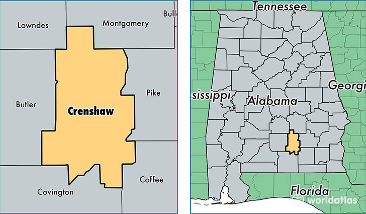
Crenshaw County is a county equivalent area found in Alabama, USA. The county government of Crenshaw is found in the county seat of Luverne.
With a total 1,582.26 sq. km of land and water area, Crenshaw County, Alabama is the 1705th largest county equivalent area in the United States. Home to 13,977 people, Crenshaw County has a total 6665 households earning 36275 on average per year.
Crenshaw County, Alabama - Quick Facts
| FIPS Code | 1041 |
| Area Codes | 334 |
| Time Zone | CST |
| Major Cities | Luverne (population: 5,778), Brantley (population: 2,599), Lapine (population: 1,503), Honoraville (population: 1,492), Highland Home (population: 1,334), Glenwood (population: 818), Rutledge (population: 775) |
| Land Area | 5,397 sq miles |
| Water Area | 609 sq miles |
| Household Income | $36,275 |
| Housing Units | 6,665 |
| Median Home Value | $70,800 |
| High School Grads | 77% of population |
| Holders of Bachelors Degrees | 13% of population |
| Retail Spending | $5,491 per capita |
| Food & Accomodation Sales | $5,640 per capita |
This page was last updated on June 30, 2016.