Where is Choctaw County, Alabama?
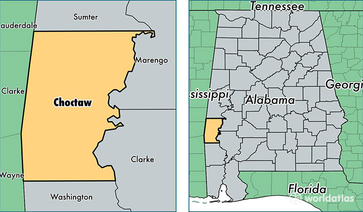
Choctaw County is a county equivalent area found in Alabama, USA. The county government of Choctaw is found in the county seat of Butler.
With a total 2,385.01 sq. km of land and water area, Choctaw County, Alabama is the 890th largest county equivalent area in the United States. Home to 13,323 people, Choctaw County has a total 7186 households earning 33941 on average per year.
Choctaw County, Alabama - Quick Facts
| FIPS Code | 1023 |
| Area Codes | 205,251 |
| Time Zone | CST |
| Major Cities | Butler (population: 4,031), Gilbertown (population: 2,377), Silas (population: 2,107), Lisman (population: 1,984), Toxey (population: 1,018), Pennington (population: 697), Ward (population: 643), Needham (population: 616), Melvin (population: 52), Jachin (population: 34) |
| Land Area | 5,144 sq miles |
| Water Area | 914 sq miles |
| Household Income | $33,941 |
| Housing Units | 7,186 |
| Median Home Value | $58,200 |
| High School Grads | 75% of population |
| Holders of Bachelors Degrees | 12% of population |
| Retail Spending | $5,969 per capita |
| Food & Accomodation Sales | $11,345 per capita |
This page was last updated on June 30, 2016.