Where is Hacienda Santa Fe, Mexico?
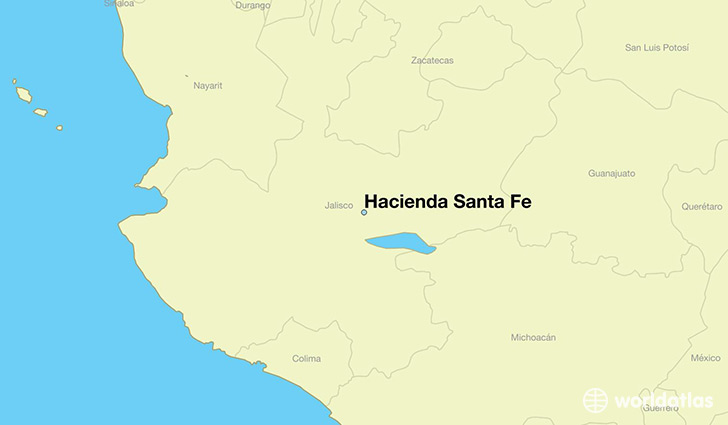
Hacienda Santa Fe is a city found in Jalisco, Mexico. It is located 20.52 latitude and -103.38 longitude and it is situated at elevation 1559 meters above sea level.
Hacienda Santa Fe has a population of 86,935 making it the 7th biggest city in Jalisco. It operates on the CDT time zone, which means that it follows the same time zone as Guadalajara.
Quick facts
| Country | Mexico |
| Division | Jalisco |
| Population | 86,935 |
| Elevation | 1,559 m over sea level |
| Time Zone | CDT |
| Longitude | -103.380560 |
| Latitude | 20.518060 |
This page was last updated on October 2, 2015.