Where is Mexicali, Mexico?
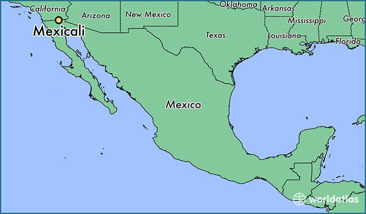
Mexicali is a city found in Baja California, Mexico. It is located 32.63 latitude and -115.45 longitude and it is situated at elevation 4 meters above sea level.
Mexicali has a population of 597,099 making it the 2nd biggest city in Baja California. It operates on the LMT time zone, which means that it follows the same time zone as Tijuana.
Quick facts
| Country | Mexico |
| Division | Baja California |
| Population | 597,099 |
| Elevation | 4 m over sea level |
| Time Zone | LMT |
| Longitude | -115.454460 |
| Latitude | 32.627810 |
This page was last updated on October 2, 2015.