Where is Puerto Plata, The Dominican Republic?
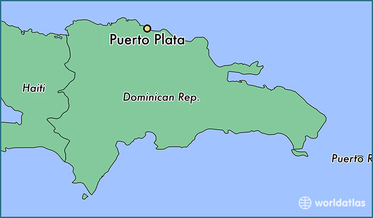
Puerto Plata is a city found in Puerto Plata, The Dominican Republic. It is located 19.79 latitude and -70.69 longitude and it is situated at elevation 34 meters above sea level.
Puerto Plata has a population of 146,000 making it the biggest city in Puerto Plata. It operates on the AST time zone.
Quick facts
| Country | The Dominican Republic |
| Parish | Puerto Plata |
| Population | 146,000 |
| Elevation | 34 m over sea level |
| Time Zone | AST |
| Longitude | -70.688400 |
| Latitude | 19.793440 |
This page was last updated on October 2, 2015.