State of Thuringia, Germany
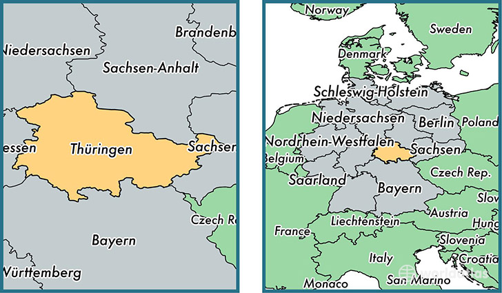
Thuringia is a state found in the nation of Germany. Home to 2,188,589 people, it is the 12th largest division in Germany in terms of population.
Thuringia gained its current status as a state in the year 1990. The government of Thuringia is lead by Bodo Ramelow and is based in the state capital of Erfurt (Population: 203,254).
The most populous cities in Thuringia are: Erfurt (Population: 203,254), Jena (Population: 104,712), Gera (Population: 104,659), Weimar (Population: 64,727).
Thuringia State - Quick Facts
| Country | Germany |
| Region Type | State |
| ISO Code | DE_TH |
| Time Zone | CEST |
| Year of Establishment | 1990 |
| Capital | Erfurt (Population: 203,254) |
| Head of Government | Bodo Ramelow |
| Total Population | 2,188,589 |
| Total Area | 16,172 sq km (6,244 sq miles) |
| Population Density | 135.3 sq km (350.5 sq miles) |