Prefecture of Kanagawa, Japan
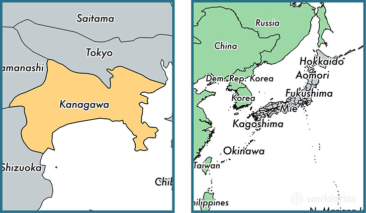
Kanagawa is a prefecture found in the nation of Japan. Home to 8,489,932 people, it is the 3rd largest division in Japan in terms of population.
Kanagawa gained its current status as a prefecture in the year 1868. The government of Kanagawa is lead by Yuji Kuroiwaand is based in the prefecture capital of Yokohama (Population: 3,574,443).
The most populous cities in Kanagawa are: Yokohama (Population: 3,574,443), Kawasaki (Population: 1,306,785), Yokosuka (Population: 428,992), Fujisawa (Population: 394,624), Hiratsuka (Population: 259,052).
Kanagawa Prefecture - Quick Facts
| Country | Japan |
| Region Type | Prefecture |
| ISO Code | JP_14 |
| Time Zone | JST |
| Year of Establishment | 1868 |
| Capital | Yokohama (Population: 3,574,443) |
| Head of Government | Yuji Kuroiwa |
| Total Population | 8,489,932 |
| Total Area | 2,415 sq km (932 sq miles) |
| Population Density | 3,515.5 sq km (9,105.1 sq miles) |
This page was last updated on July 24, 2015.