Where is Amravati, India?
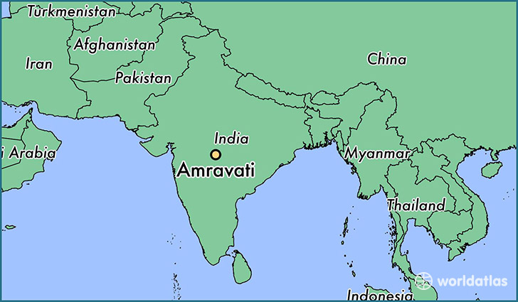
Amravati is a city found in Maharashtra, India. It is located 20.93 latitude and 77.75 longitude and it is situated at elevation 341 meters above sea level.
Amravati has a population of 603,837 making it the 15th biggest city in Maharashtra. It operates on the BURT time zone, which means that it follows the same time zone as Mumbai.
Quick facts
| Country | India |
| Special region | Maharashtra |
| Population | 603,837 |
| Elevation | 341 m over sea level |
| Time Zone | BURT |
| Longitude | 77.750000 |
| Latitude | 20.933330 |
This page was last updated on October 2, 2015.