Where is Haveri, India?
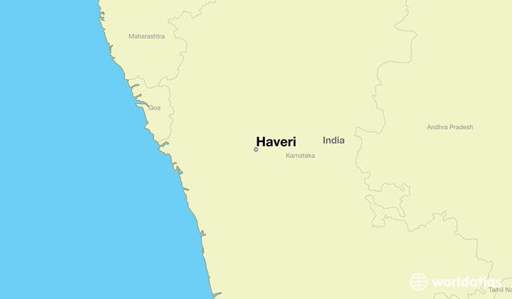
Haveri is a city found in Karnataka, India. It is located 14.79 latitude and 75.40 longitude and it is situated at elevation 576 meters above sea level.
Haveri has a population of 60,155 making it the 43rd biggest city in Karnataka. It operates on the BURT time zone, which means that it follows the same time zone as Bangalore.
Quick facts
| Country | India |
| Special region | Karnataka |
| Population | 60,155 |
| Elevation | 576 m over sea level |
| Time Zone | BURT |
| Longitude | 75.404480 |
| Latitude | 14.793540 |
This page was last updated on October 2, 2015.