Where is Visakhapatnam, India?
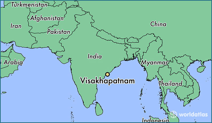
Visakhapatnam is a city found in Andhra Pradesh, India. It is located 17.68 latitude and 83.20 longitude and it is situated at elevation 24 meters above sea level.
Visakhapatnam has a population of 1,063,178 making it the biggest city in Andhra Pradesh. It operates on the BURT time zone.
Quick facts
| Country | India |
| City of county right | Andhra Pradesh |
| Population | 1,063,178 |
| Elevation | 24 m over sea level |
| Time Zone | BURT |
| Longitude | 83.201610 |
| Latitude | 17.680090 |
This page was last updated on October 2, 2015.