Where is Rajahmundry, India?
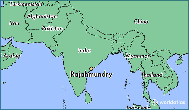
Rajahmundry is a city found in Andhra Pradesh, India. It is located 17.01 latitude and 81.78 longitude and it is situated at elevation 34 meters above sea level.
Rajahmundry has a population of 304,804 making it the 5th biggest city in Andhra Pradesh. It operates on the BURT time zone, which means that it follows the same time zone as Visakhapatnam.
Quick facts
| Country | India |
| City of county right | Andhra Pradesh |
| Population | 304,804 |
| Elevation | 34 m over sea level |
| Time Zone | BURT |
| Longitude | 81.777840 |
| Latitude | 17.005170 |
This page was last updated on October 2, 2015.