Where is Port Blair, India?
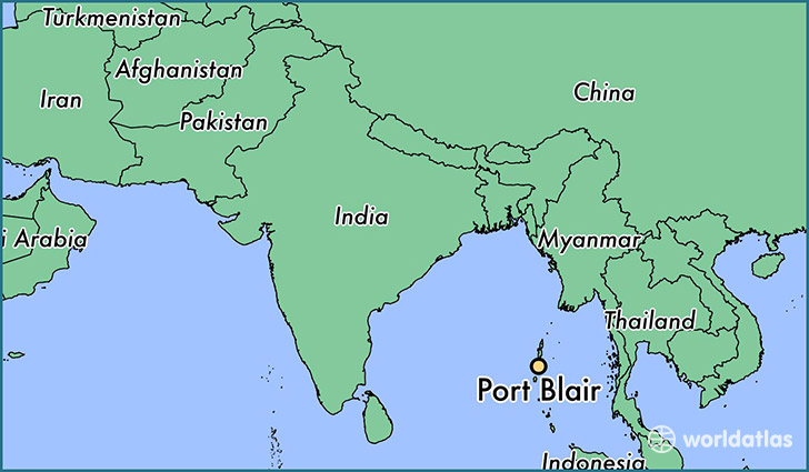
Port Blair is a city found in Andaman and Nicobar Islands, India. It is located 11.67 latitude and 92.75 longitude and it is situated at elevation 6 meters above sea level.
Port Blair has a population of 112,050 making it the biggest city in Andaman and Nicobar Islands. It operates on the BURT time zone.
Quick facts
| Country | India |
| City of county right | Andaman and Nicobar Islands |
| Population | 112,050 |
| Elevation | 6 m over sea level |
| Time Zone | BURT |
| Longitude | 92.750000 |
| Latitude | 11.666670 |