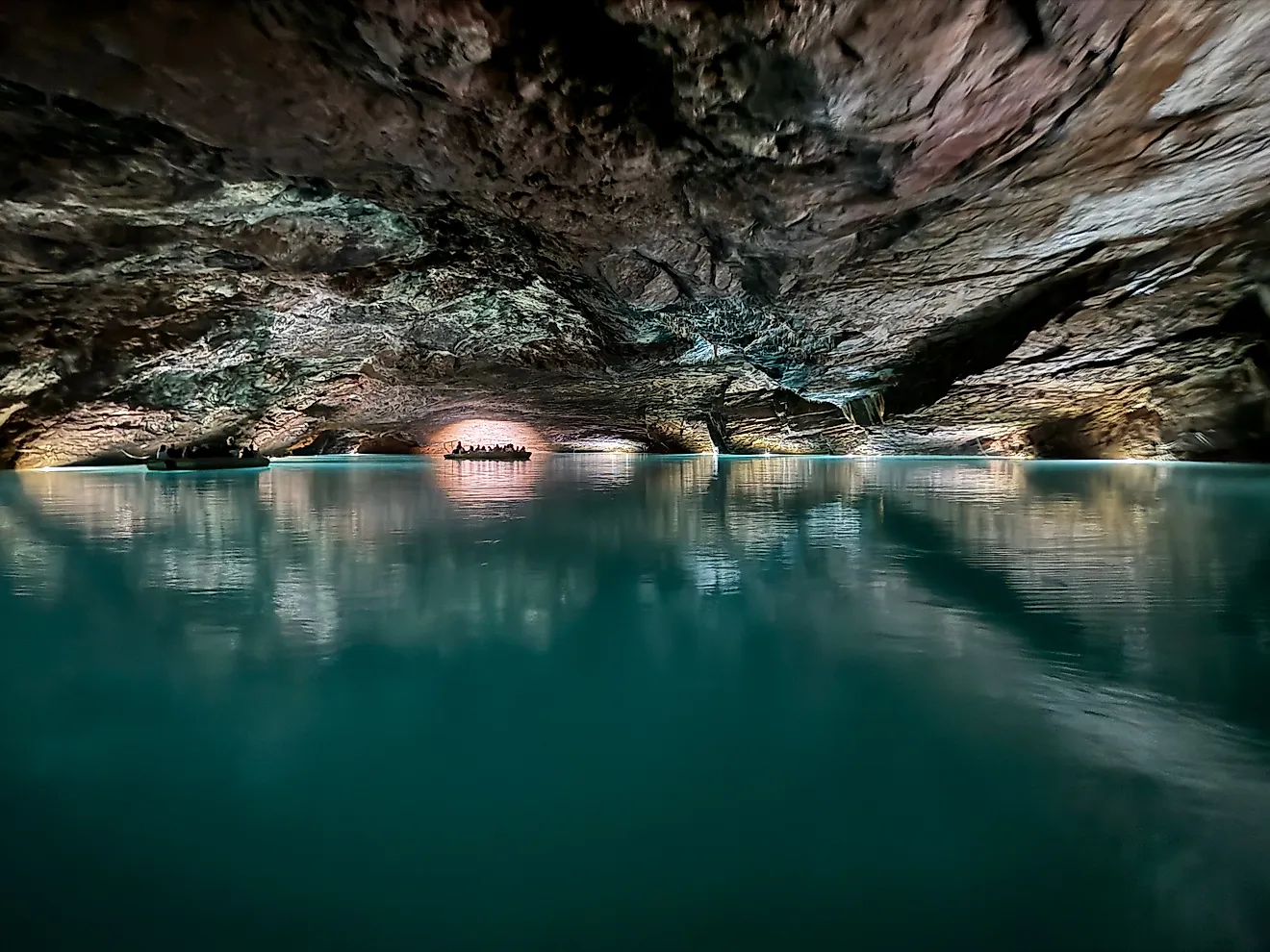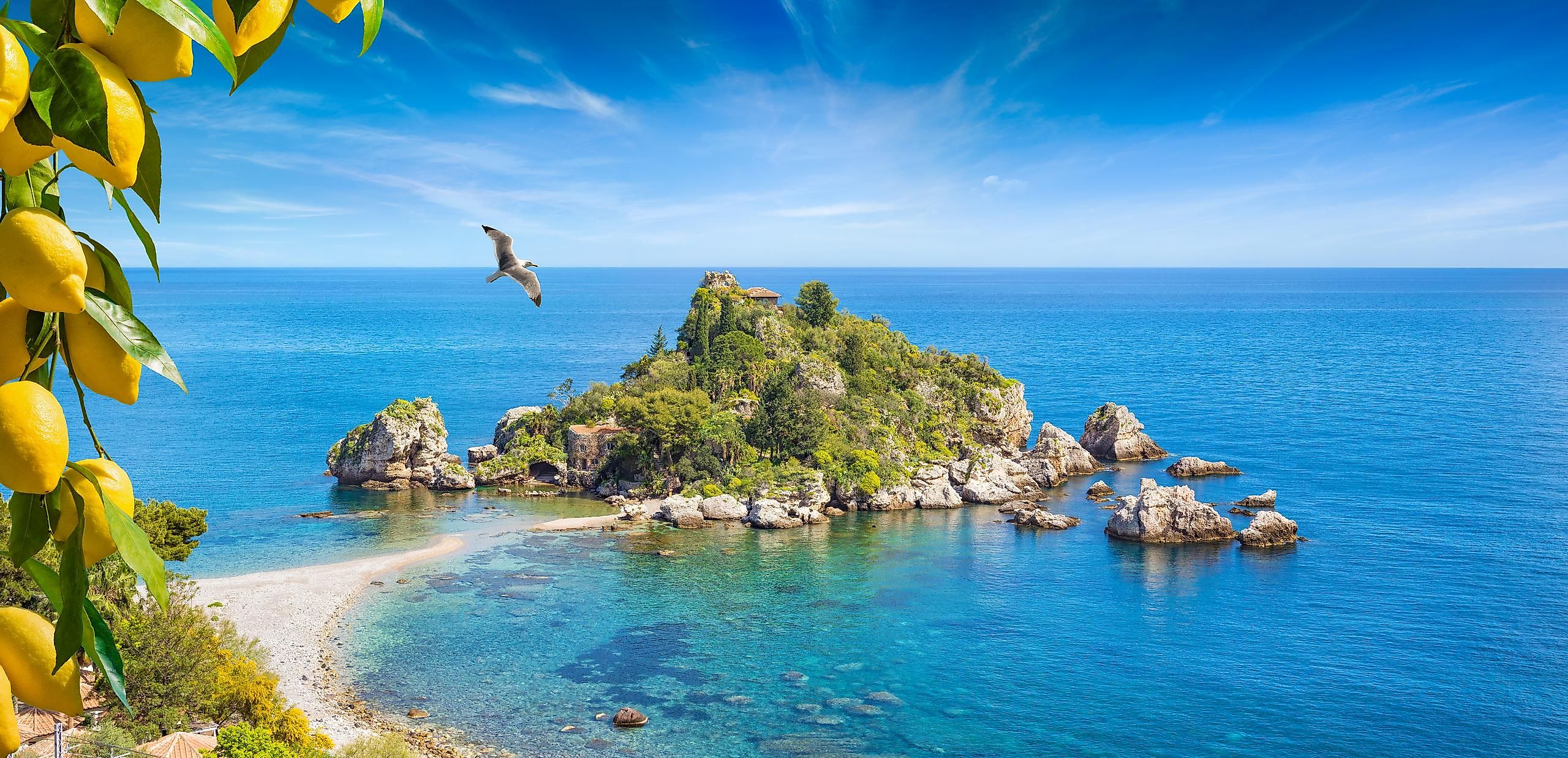
Ionian Sea
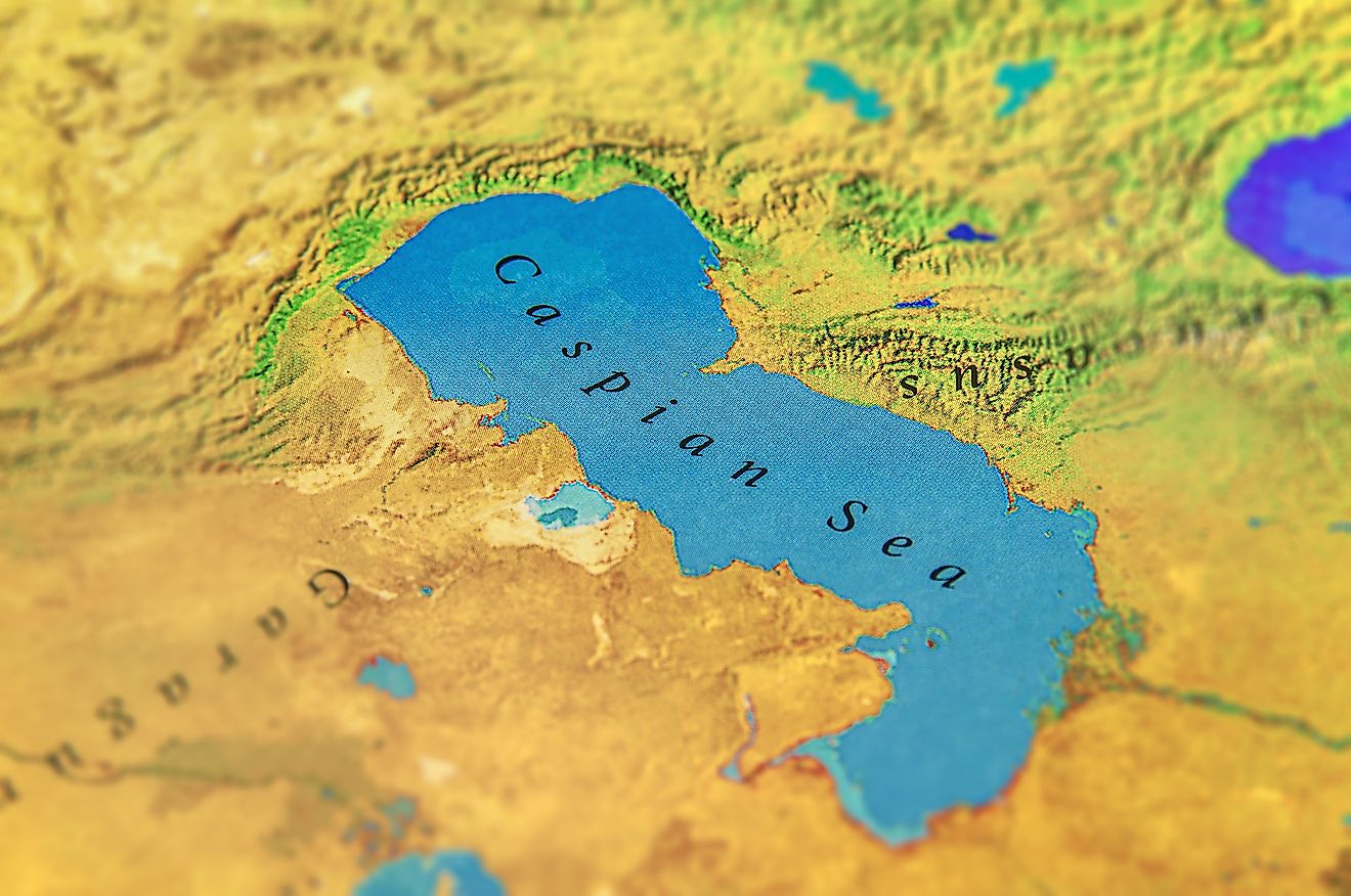
Bays are recessed, coastal water bodies that are directly connected to large water bodies such as oceans, lakes, or another larger bay. They are formed in different ways and vary in size, with the larger ones referred to as seas, bights, and gulfs. Located in Southern Europe, the Ionian Sea is an elongated embayment of the Mediterranean Sea.
Where Is The Ionian Sea?
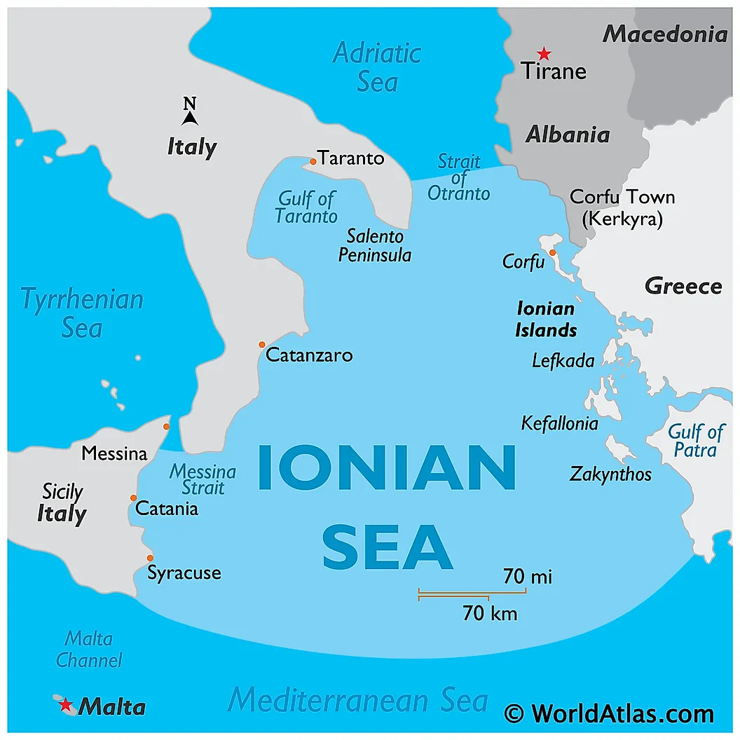
The Ionian Sea is situated to the south of the Adriatic Sea. The sea is bounded by the island of Sicily, the Salento Peninsula, and Calabria of southern Italy, in the west. It is also bordered by southern Albania in the northeast, and by the western coast of Greece in the east. The Strait of Otranto connects the Adriatic Sea with the Ionian Sea, while the Strait of Messina connects the Ionian Sea with the Tyrrhenian Sea.
Geography Facts

The Calypso Deep, the deepest point in the Mediterranean Sea, is located in the Ionian Sea and reaches a depth of 5,267 m. The Ionian Sea is also widely known for being one of the world’s most seismically active regions. The different straits and gulfs that are found in the Ionian Sea include the Strait of Messina, the Gulf of Squillace, the Gulf of Taranto, the Gulf of Patras, the Gulf of Corinth, the Laconian Gulf, the Messenian Gulf, the Ambracian Gulf, the Gulf of Kyparissia, the Gulf of
Catania, and the Gulf of Augusta. Numerous ferry routes cross the northern and eastern parts of the Ionian Sea.
Collectively known as the “Ionian Islands,” all the principal islands of the Ionian Sea are located in the sea’s eastern portion and all of them are administered by Greece. The major islands include Corfu, Cythera, Ithaca, Lefkada (Leucas), Zakynthos, Paxos, and Kefalonia. The Kefalonia island is the largest among the Ionian Islands. The Ionian Islands occupy a combined land area of 2,307 km2.
Brief History

The Ionian Sea has been a common location for different battles that were fought between Greece and Rome since ancient times. The Battle of Actium is a famous naval battle that was fought between Marc Antony and Octavian, took place in the Ionian Sea in 31 BCE. The name of the sea may have been derived from the ancient Greek Ionians who had sailed to the west. The Ionian Sea has also been linked to the myth of Io by different ancient Greek writers.
The ports of Catania, Messina, and Syracuse are located along the western coast of the Ionian Sea. The ports that are located along the sea’s northern coast include Himara, Saranda, and Taranto. The ports along the sea’s eastern coast include Argostoli, Astakos, Igoumenitsa, Kerkyra, Kyparissia, Parga, Patra, Preveza, and Pylos. Different materials like cotton, olives, fish, salt, and wine are currently exported worldwide through the harbors of the Ionian Islands.