Bosporus Strait
Turkey, as a transcontinental country extending from Asia into Europe, is not a continuous landmass. Rather, it is divided into Asian Turkey and European Turkey by the Turkish Straits. Turkish Straits are important waterways that act as a boundary between Europe and Asia. The two straits, Bosphorus and Dardanelles connect the Mediterranean and Aegean Seas to the Black Sea. Bosphorus Strait is one of the few straits that act as a boundary between two continents and at the same time divides a country into two portions. It has played an important role in politics, commerce, and European history.
Where Is The Bosphorus Strait?

The Bosphorus Strait, alongside Dardanelles and the Sea of Marmara, is within the Turkish territory. The strait is located in northwestern Turkey and separates Thrace from Anatolia. It is the narrowest strait in the world, connecting the Black Sea with the Sea of Marmara. The Sea of Marmara connects with the Mediterranean and Aegean Seas via the Dardanelles Strait. The two Turkish Straits occupy Eurasia’s western portion and form the boundary between Asia and Europe.
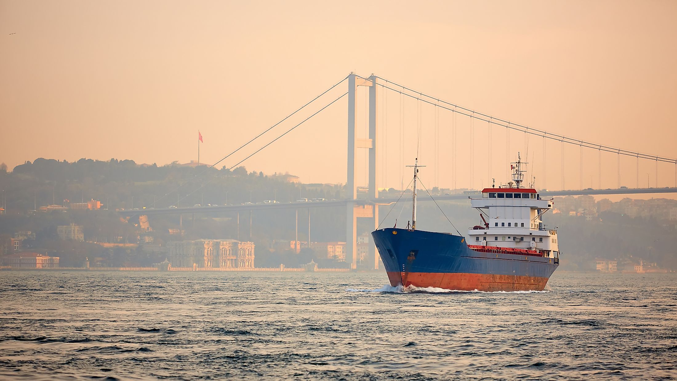
Bosphorus Strait is a narrow strait with a maximum length of 31 kilometers and a maximum width of 3.7 kilometers, located near the northern entrance. The narrowest point is 700 meters wide, located in Anadoluhisari and Rumelihisari. Its depth ranges from 36.5 meters to 124 meters below the sea surface. It runs through Istanbul, the only city located on two continents.
Origin Of The Name
The name “Bosphorus” was derived from the Ancient Greek word “Bosporos,” meaning “cattle strait” or “ox ford.” The name has its origin from the Greek legend of Io. Io was one of Zeus’ lovers. Initially, Io rejected Zeus until she was thrown out of the house by her father Hera. To hide her from his wife, Zeus turned Io into a cow. However, his deception failed, and he took Io back to Hera (still in as a cow). However, Zeus would later steal her from the father. To revenge, Hera sent a gadfly to sting Io (cow), forcing her to cross the path between Propontis (Sea of Marmara) and the Black Sea, hence the name Bosphorus.
Formation

The events that led to the formation of the Bosphorus Strait remain the subject of debate. However, some sources argue that the Black Sea Deluge is responsible for its formation. According to researchers from Columbia University, the strait may have been flooded around 5,600 BC, when the waters of the Sea of Marmara and the Mediterranean rose and filled up the Black Sea.
According to Greek mythology, Clashing Rocks (Symplegades) once occupied either side of the strait. These rocks would fall on any vessel that tried to pass through the strait by rolling down from the hilltop. However, Jason heroically defeated Symplegades, causing the rocks to become fixed and allowing access to the Black Sea.
Brief History
As part of the only connection between the Mediterranean and the Black Sea, the Bosphorus Strait has historically been of strategic importance in politics and commerce. Its control has been a subject of conflicts, including the Russo-Turkish War and the Battle of Gallipoli. In the 5th Century BC, it facilitated grain export from Scythia to Athens and allowed the Greek city to maintain an alliance with several other cities, including Byzantium and Megarian. In the 15th century, the Ottoman Empire constructed a fortification on both sides of the strait; Rumelihisari and Anaduluhisari. The increasing European influence over the strait in the 19th century led to the coding of rules governing its use.
The strait’s shore is heavily settled. It is part of the Istanbul metropolitan area, Turkey’s largest metropolis with 17 million people. Two suspension bridges are constructed across the strait. Bosphorus Bridge I (15th July Matyres Bridge) was constructed in 1973, while Bosphorus II (Fatih Sultan Mehmet Bridge) was completed in 1988. Yavuz Sultan Selim Bridge is a cable-stayed bridge completed in 2016.


