Babuyan Islands
The Babuyan Islands are a group of volcanic islands forming the northern extension of the Philippine Archipelago, located in the Pacific Ocean. They are made up of five principal islands and a collection of smaller islands surrounding them. The Babuyan Islands are situated in the Luzon Strait, to the north of Luzon Island and to the south of the Batanes archipelago. These islands are separated from the Balintang Islands in the northeast by the Balintang Channel and from the Luzon Island by the Babuyan Channel in the south.
Geography

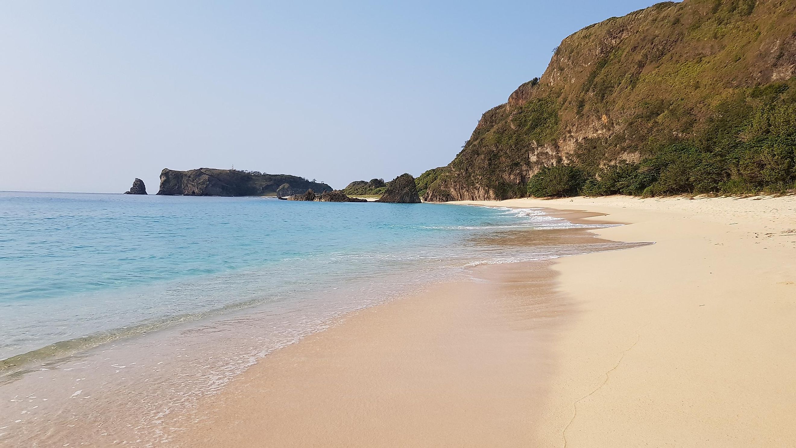
Covering a total area of 600 km2, the Babuyan Island archipelago is made up of 24 volcanic-coralline islands. The five principal islands of the archipelago are Babuyan Claro, Camiguin, Calayan, Dalupiri and Fuga. With an area of 196 km2, Calayan Island is the largest among all these islands. Situated on the Babuyan Claro island is Mount Pangasun, the highest peak in the archipelago which rises to an elevation of 1,108 m.

Babuyan Island and Camiguin Island are a part of the Luzon Volcanic Arc. Three volcanoes, namely Babuyan Claro Volcano and Smith Volcano on Babuyan Island and the Camiguin de Babuyanes volcano on Camiguin Island, have erupted in historic times. Some of the other prominent small islands of the archipelago include Barit Island, Mabag Islan, Panuitan Island, Pamoctan Island, Pinon Island, and Irao Island.
Wildlife

Due to their unique geographical and biological importance, all the islands of the Babuyan Island archipelago have been designated as "key biodiversity areas" by BirdLife International and the Haribon Foundation. Some of the notable avian species that have been found here are the Jacobin’s cuckoo, Philippine (reddish) cuckoo-dove, White’s (scaly ground) thrush, striated (red-rumped) swallow, orange-flanked bush robin, Calayan rail, Philippine coucal, yellow-bellied whistler, red-keeled flowerpecker, etc. The flightless Calayan rail (Gallirallus calayanensis) is the Philippines’ most critically endangered avian species that is endemic to Calayan Island.
Many amphibian and reptilian species are also found in this island group. These include the giant Philippine frog, slender-digit chorus frog, Philippine bent-toed gecko, banded-burrowing snake, Philippine blunt-headed tree snake, and Philippine pit viper, etc. Ross’s wolf snake (Lycodon chrysoprateros), endemic to Dalupiri Island, is the Philippines’ most critically endangered reptilian species. A large number of mammals are found in the Babuyan Island archipelago. These include the Ryukyu flying fox, the Philippine warty pig, yellow-faced horseshoe bat, and the common Philippine forest rat. During the summer months, humpback whales (Megaptera novaeangliae) come here to breed and calve in the warm coastal waters surrounding the Babuyan Islands.
Economy
The Babuyan Island archipelago is administered by the Cagayan province of the Philippines. The islands of Babuyan, Camiguin, Calayan, and Dalupiri are under the jurisdiction of the Calayan municipality, while Fuga Island is under the Aparri municipality.
Located on Calayan Island, Calayan is the only seaport and the largest town in the Babuyan Island archipelago. The Port of Calayan has a regular inter-island shipping service and many important products like lumber, goats, and cattle (from the island’s small livestock industry) are exported through this port. However, the typhoon season from September to February severely breaks this shipping link, as a large number of turbulent storms frequently isolate the islands during this time.