Adriatic Sea
The Adriatic Sea is a shallow, semi-enclosed basin and the most isolated part of the Mediterranean Sea, positioned between the eastern coastline of the Italian Peninsula and the countries of the Balkan Peninsula (extending from a small part of Slovenia, through south Croatia, Bosnia, and Herzegovina, Montenegro and to Albania). It is surrounded by the Apennines, Alps, Dinarids, and Helenids mountain ranges.
The Adriatic Sea is geographically divided into three basins, namely, the Northern Adriatic, the Middle Adriatic, and the Southern Adriatic; where the northern part is shallower and the southern part is much deeper. The Italian coastline of the Adriatic Sea has no islands and is relatively straight and continuous; whereas the eastern Croatian coastline has about 1,300 large and small islands, reefs, and is the most indented and diverse one. The western coastline is, however, much wider due to sedimental accumulation.

The Adriatic Sea extends from 39°46’57” - 45°48’18” N and 12°17’14.81″ - 19°34’33.86″ E, in the northernmost part of the Mediterranean Sea; measuring about 805km in length, 160km in width, and an estimated area of 135,250 sq. km. The southern boundary of the Adriatic Sea is situated between Albania and Italy’s Salento Peninsula; where through the Strait of Otranto, it is linked with the Ionian Sea.The major rivers that flow into the Adriatic Sea include Reno, Po, Adige, Brenta, Piave, Soca/Isonzo, Zrmanja, Krka, Cetina, Neretva, and Drini. While the major seaports include: Ancona, Bari, Brindisi, Dubrovnik, Rijeka, Split, and Venice.
Important Parameters
- Surface Area: 138,600 km2
- Water Volume: 35,000 km3
- Maximum Length: 800 km
- Maximum Width: 200 km
- Average depth: 252.5 m
- Max. depth: 1,233 m
Etymology
The name Adria - have probably been derived from the Illyrian term, ‘adur’ which refers to ‘water’ or ‘sea’; and have been named by ancient Greek geographers referring to the ancient city of Adria, located at the mouth of Po River.
Countries With Coastline On The Adriatic Sea
| Country | Mainland | Islands | Total length of Adriatic coastline (in km) |
|---|---|---|---|
| Croatia |
1,777.3 |
4,058 |
5,835.3 |
| Italy |
1,249 |
23 |
1,272 |
| Albania |
396 |
10 |
406 |
| Montenegro |
249 |
11 |
260 |
| Slovenia |
46.6 |
0 |
46.6 |
| Bosnia and Herzegovina |
21.2 |
0 |
21.2 |
| Total |
3,739.1 |
4,102 |
7,841.1 |
Peninsulas On The Adriatic Sea
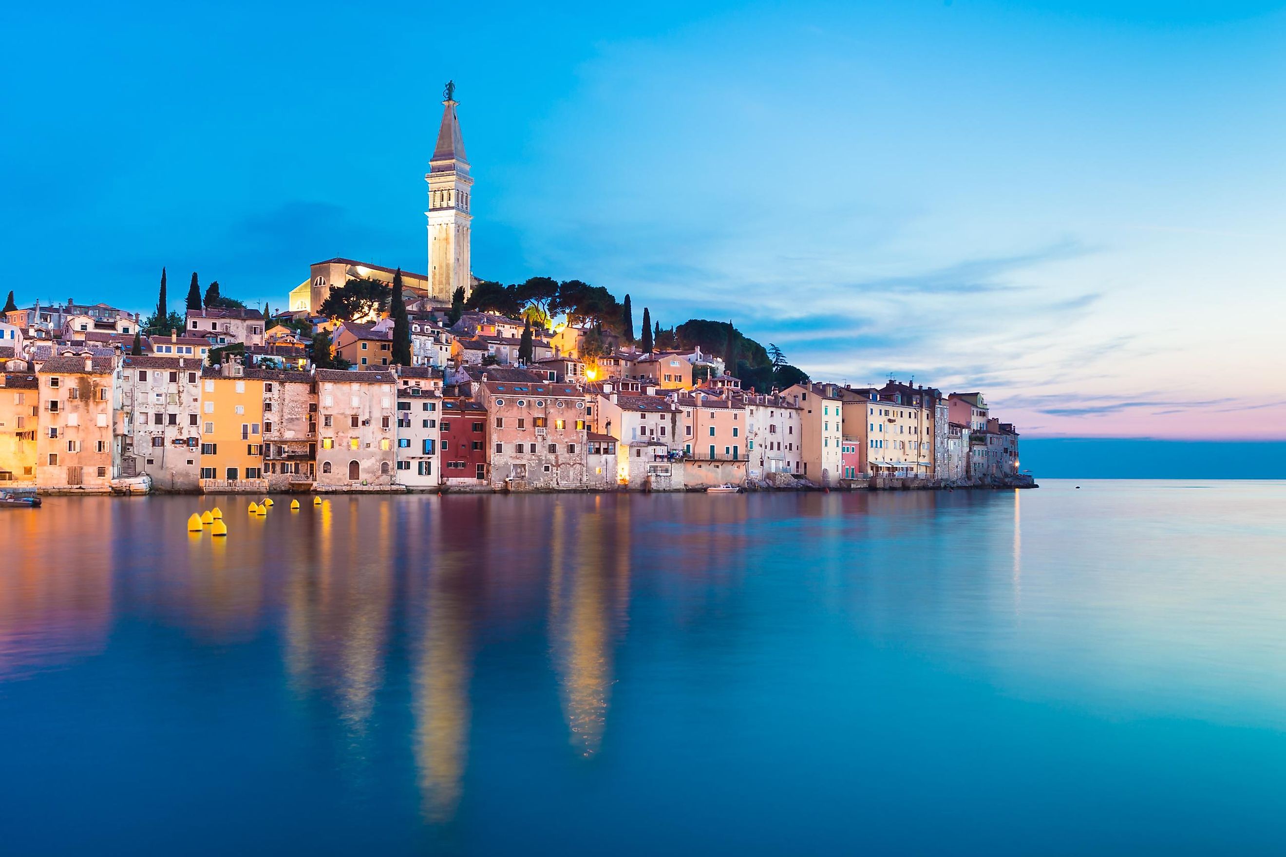
The Adriatic Sea is bordered in the southwest by the Apennine (Italian) Peninsula and in the northeast by the Balkan Peninsula. Situated at the head of the Adriatic Sea is its largest Peninsula – the Istrian Peninsula, which is shared by the countries of Slovenia, Croatia, and Italy.
Maps of the three main peninsulas on the Adriatic Sea are provided as follows:


Plants And Animals Found In The Adriatic Sea
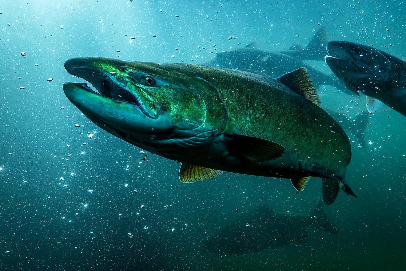
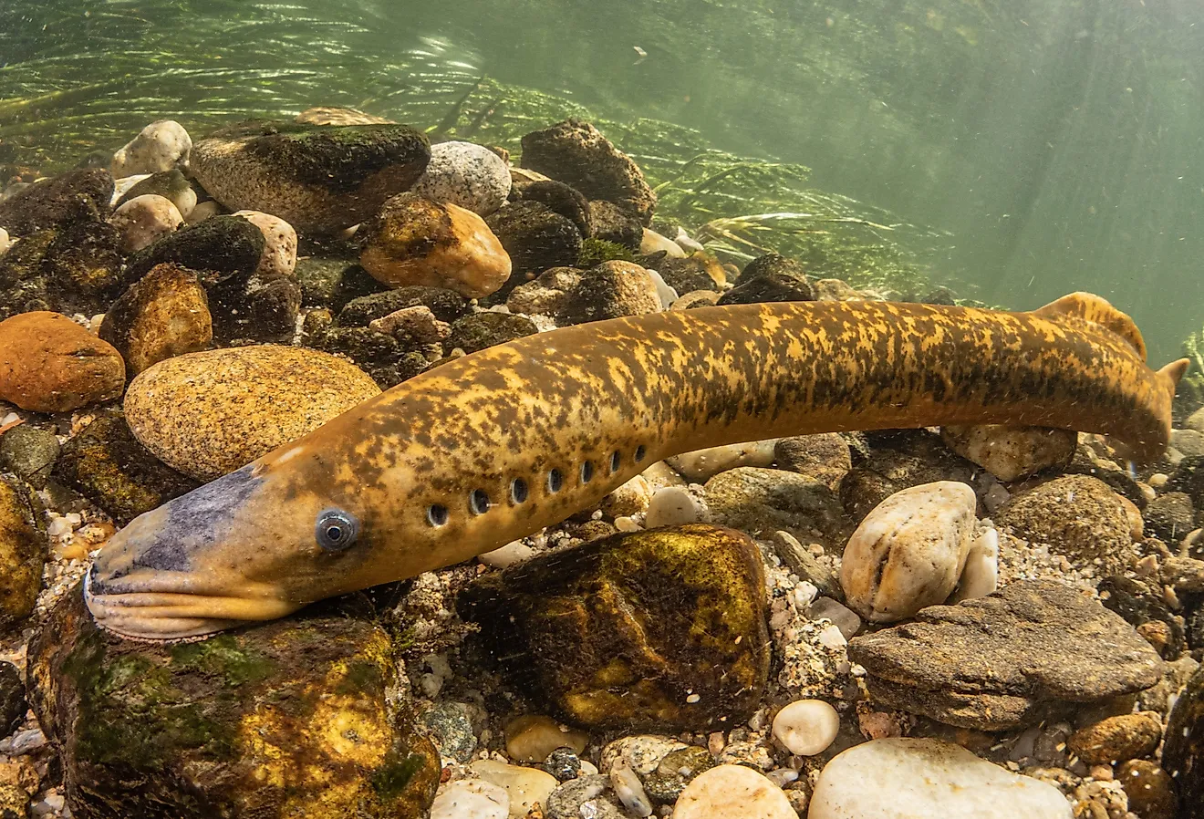
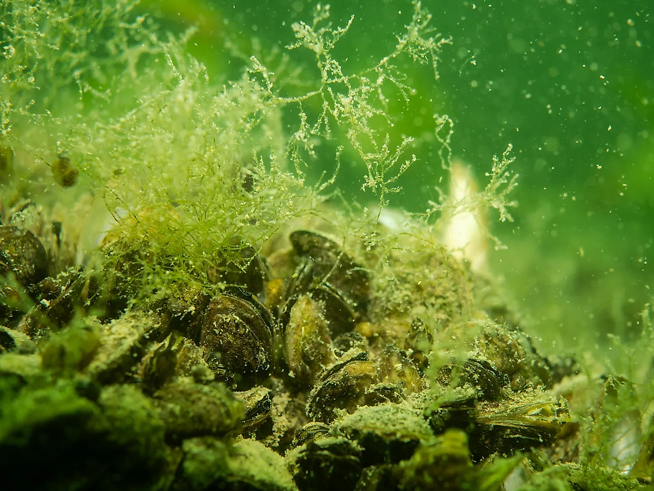
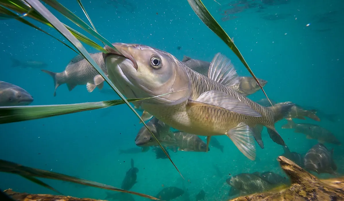
The total number of floral and faunal species present in the Adriatic is still unknown but, based on recent studies, it is roughly estimated that about 7000 plant and animal species can be found in the Adriatic Sea. The Central Adriatic Sea is the hub of endemic flora and faunal species with about 535 endemic species of brown, green, and red algae out of the total 2597 algal species, which have been identified so far. In the northern part of the Adriatic Sea, several endemic fishes are found. Of the total 440 species of fishes that are found in the Adriatic Sea about 123 species are endangered while 5 species are critically endangered. About 1500 crab species are also found here.

Cymodocea nodosa and Zostera noltii are the most commonly found Mediterranean seagrass species in the Adriatic Sea. Zostera marina and Posidonia oceanica species are also found here but are quite rare. Being, much clear and less polluted than the other parts, the eastern coast of the Adriatic Sea hosts several rare and threatened species. The common bottlenose dolphin (Tursiops truncates) is mainly found here while the critically endangered Mediterranean monk seal (Monachus monachus) and the loggerhead sea turtle (Caretta caretta) are found along the Croatian coast. Cetaceans like – sperm whales, fin whales, Cuvier’s beaked whales, Basking sharks, manta rays, etc are some of the migrant species residing in the Adriatic Sea.
Protected Areas In The Adriatic Sea
A large number of Marine Protected Areas have been established by countries situated along the Adriatic Sea coast. In the northern part is the Miramare protected area (in the Gulf of Trieste), while the Torre del Cerrano and Isole Tremiti are in the middle portion of the Adriatic and Torre Guaceto is in the southern part. About 7 marine protected areas are situated in Croatia, 6 in Slovenia, and 3 in Albania.

Economy Based On The Adriatic Sea
For the countries situated in the upper part of the Adriatic Sea, tourism has been the main source of the maritime economy where the long sandy beaches have been a major tourist attraction. Fishes have been commercially harvested in the Adriatic Sea; however, overfishing is a serious problem affecting the fish population of the Adriatic.
Exclusive Economic Zones In The Adriatic Sea
| Country | Area (km2) |
| Italy | 63,600 |
| Croatia | 55,961 |
| Albania | 11,105 |
| Montenegro | 7,460 |
| Slovenia | 192 |
| Bosnia and Herzegovina | 50 |