Where is Samara, Russia?
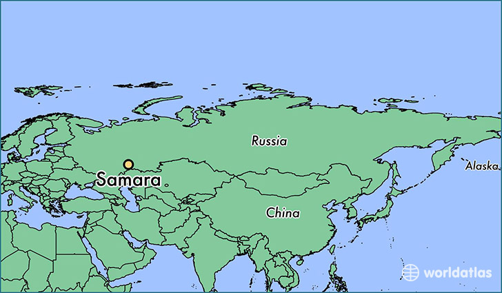
Samara is a city found in Samara Oblast, Russia. It is located 53.20 latitude and 50.15 longitude and it is situated at elevation 117 meters above sea level.
Samara has a population of 1,134,730 making it the biggest city in Samara Oblast. It operates on the EEST time zone.
Quick facts
| Country | Russia |
| Administrative region | Samara Oblast |
| Population | 1,134,730 |
| Elevation | 117 m over sea level |
| Time Zone | EEST |
| Longitude | 50.150000 |
| Latitude | 53.200070 |