Maps of South America
South America Physical Map

Table of Contents
A map showing the physical features of South America. The Andes mountain range dominates South America’s landscape. As the world’s longest mountain range, the Andes stretch from the northern part of the continent, where they begin in Venezuela and Colombia, to the southern tip of Chile and Argentina. South America is also home to the Atacama Desert, the driest desert in the world. As viewable by the dark green indications on the map, 40% of South America is covered by the Amazon Basin, which itself is mostly covered by the Amazon Rainforest. The Andean Plateau is the world’s largest plateau outside of Tibet.
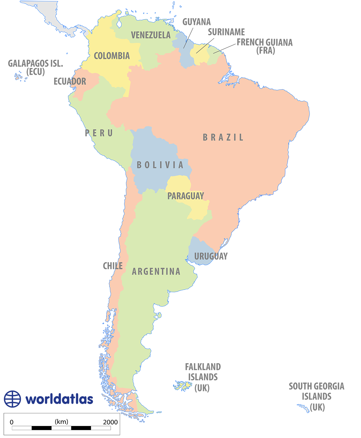
Outline Map of South America

A map showing the delineation of countries in South America. The continent’s borders were determined through reasons of culture, geography, logistics, and history. The longest land border in South America is shared by Chile and Argentina. Paraguay and Bolivia are South America’s only landlocked countries.
Political Map of South America
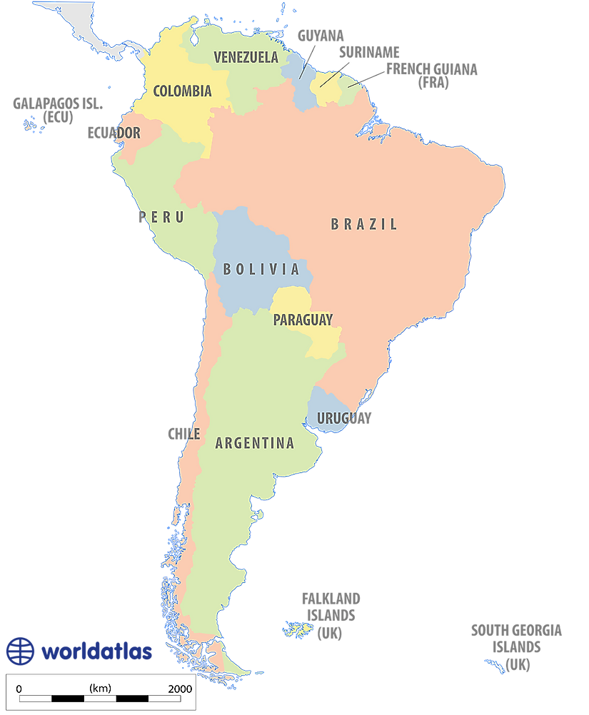
A map showing the countries of South America. South America consists of 12 countries and three territories. The largest country in South America is Brazil, followed by Argentina, Peru and Colombia. The smallest country in South America is Suriname, followed by Uruguay, and Guyana. Brazil has the longest coastline in South America, followed by Chile.
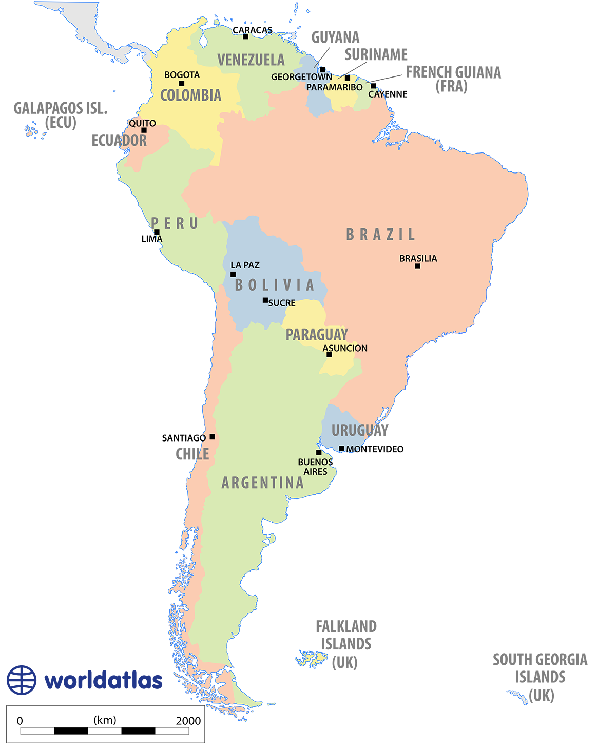
South America with Capitals

A map showing the capital cities of South America. São Paulo, Brazil, is the most populated city in South America, with a population of 12 million. Lima, Peru, is the second most populated city, with a population of 8.9 million people. Lima is followed by Bogotá, Colombia, which has a population of 7.8 million. The northernmost capital city in South America is Caracas, Venezuela. The southernmost capital city is Stanley in the Falkland Islands.
South America Bodies of Water Map
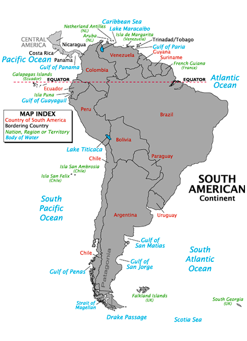
A map showing the major bodies of water surrounding South America. South America borders the South Pacific Ocean, the South Atlantic Ocean, the Southern Ocean, and the Caribbean Sea. In the north, the Gulf of Panama is connected to the Caribbean Sea and the Atlantic Ocean by the Panama Canal. Lake Titicaca, between Bolivia and Peru, is the largest lake in South America. Other major bodies of water include the Gulf of Paria, the Gulf of San Matias, the Gulf of San Jorge, and the Gulf of Penas.
South America Time Zones
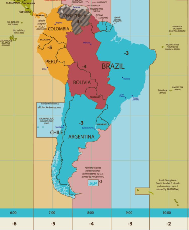
A map showing the four time zones that are observed in South America. They include UTC -5, which is observed in Colombia, Ecuador, and Peru, UTC -4, which covers Guyana, Bolivia, Paraguay, and parts of Brazil, and UTC -3, which is used in Chile, Argentina, Uruguay, Suriname, French Guiana, and eastern Brazil. Venezuela has its own time zone that is half an hour off from the rest of the continent, called UTC -4.30. UTC -2 is only used in the South Georgia and the South Sandwich Islands.